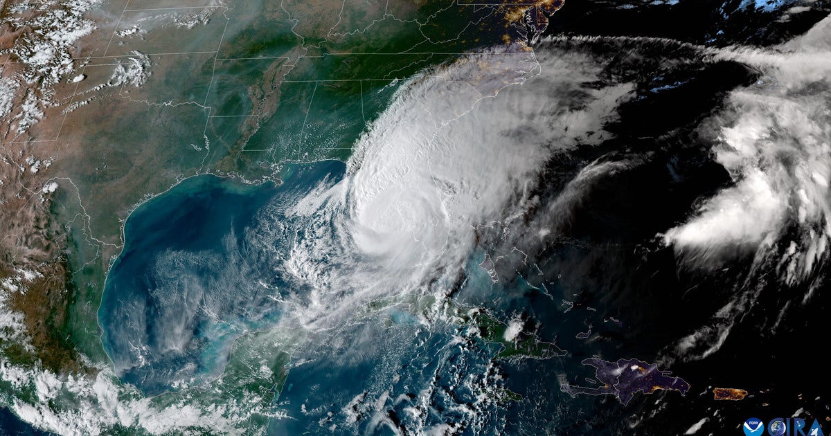
Series of storms bringing "conveyor belt of moisture" to Northern, Central California through Christmas Week
Light rain on Friday marked the start of a parade of atmospheric river-fed storms in Northern and Central California, lasting into Christmas Week and bringing a month's worth of rain in less than two weeks, forecasters said.
The National Weather Service said in its daily forecast discussion on Friday that parts of the Bay Area interior and Central Coast will see some showers and patchy drizzle, especially near the coast or higher terrain. The main band of rain on Friday will be concentrated in the North Bay, moving south during the afternoon and weakening, the Weather Service said.
Friday's rain is expected to be beneficial, helping soils without widespread flooding concerns, with the exception being near the Pickett Fire burn in Napa County, northeast of Calistoga, where forecasters said heavier showers could be a concern.
Temperatures on Friday will be typical for December in much of the Bay Area and Central Coast, with daytime highs around the upper 50s to low 60s and overnight lows in the low to mid-50s. The passing front will bring breezy conditions, with gusts up to about 25 mph along the coast, over ridgelines, and through gaps and passes.
KPIX First Alert Weather: Current conditions, alerts, maps for your area
The next storm system is expected by Saturday, with widespread rain continuing through Sunday and much of the coming week. The Weather Service said several low-pressure systems attached to the same subtropical moisture stream will produce heavier and more persistent rain from Saturday through at least Christmas Day.
"A developing surface low off the California/Mexico border will tap into the persistent conveyor belt of moisture from the subtropics
and bring us our third system on Tuesday," the Weather Service said.
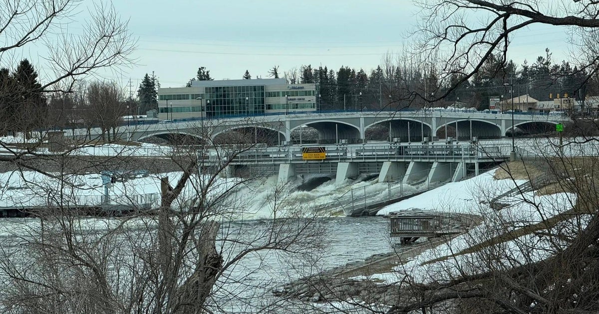
Forecasters said rainfall could transition from beneficial to potentially impactful as early as Saturday, with flooding concerns growing by Sunday. Moderate to heavy rain is expected across most of the Bay Area on Sunday, while parts of the Interior Central Coast may see lighter amounts.
Elsewhere, the Weather Service has already issued a flood watch for parts of central and northern California, including the central Sierra Nevada, Yosemite area, adjacent foothills, and portions of the Sacramento and northern San Joaquin valleys. The watch begins Saturday afternoon and lasts through Monday afternoon for the Yosemite–Mariposa–Madera region, while a broader watch across the Central Valley, Sierra, and Coastal Range extends through next Friday.
A flood watch designation for the Bay Area and Central Coast, starting sometime over the weekend, was still being determined, the Weather Service said.
"For now, you should monitor later forecasts and those living in areas prone to flooding should be prepared to take action," the forecast discussion said. "The exact onset time of impactful rainfall is still uncertain as it will be highly dependent upon antecedent conditions and how this system performs in comparison to its forecast."
In the Bay Area and Central Coast, the highest totals are expected in southwest-facing terrain, including the North Bay Coast, the Santa Cruz Mountains and the Big Sur Coast. Low-lying, urban and poor-drainage areas are most susceptible to flooding, along with fast-responding creeks and streams.
Forecasters said the cumulative effect of the multiple storms could produce roughly a quarter of annual rainfall totals in some locations. The Weather Service urged residents to monitor forecasts closely and use caution when traveling, especially during periods of heavy rain.