Bay Area Braces For Heavy Rain, High Winds From Approaching Storm
SAN FRANCISCO (CBS SF) -- Bay Area residents on Wednesday were bracing for heavy rain and gusty winds expected to move into the area Thursday morning, according to weather models.
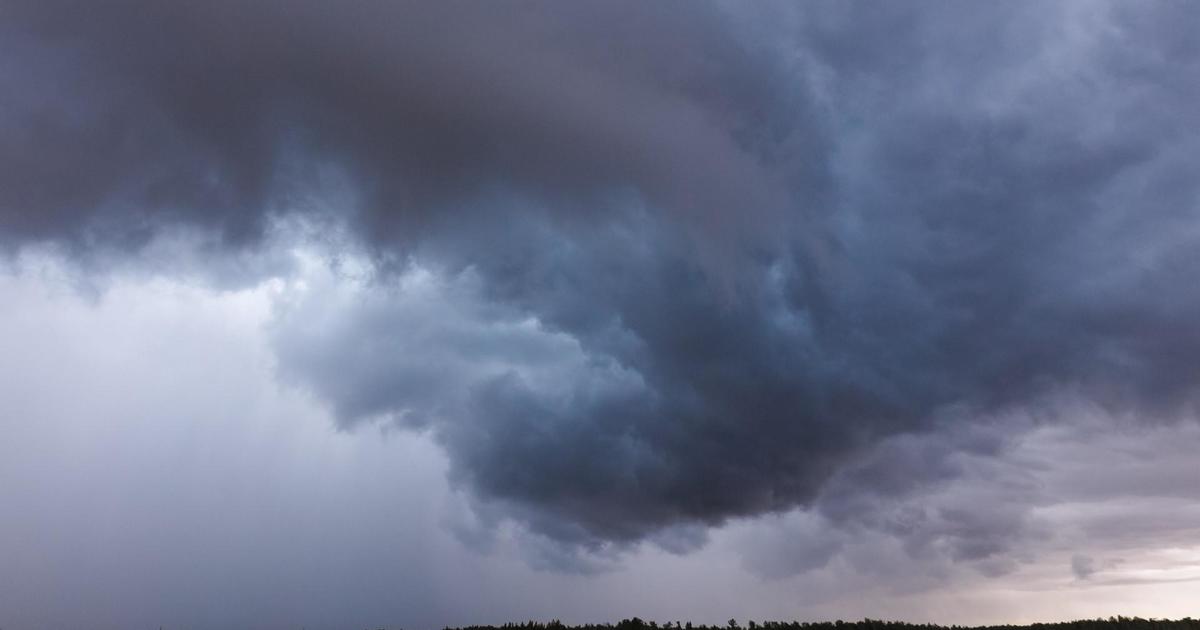
The biggest storm system to hit Northern California so far this year will also deliver snow to higher elevations and a slight chance of thunderstorms, the National Weather Service said.
The strong cold front will bring widespread rain and gusty winds to the region early Thursday, having a major impact on the morning commute.
The San Francisco Department of Emergency Management warned that the heaviest rain between 7 a.m. and 10 a.m. could cause delays for traffic and public transportation.
Rainfall in most locations will range from a half an inch to 1.25 inches, but is expected to be higher in the North Bay mountains with between an inch and three inches falling.
Winds with gusts up to 30-40 mph likely for the coast and in the hills. So far, no watches or warnings have been issued due to the storm.
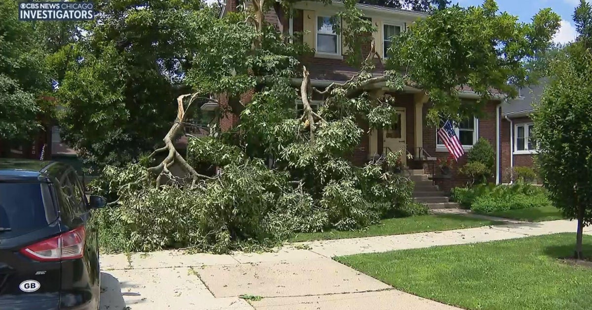
The Bay Area is likely to see isolated urban flooding, downed trees, some mud and rock slides and possible power outages.
Up to two inches of snow could fall on the highest peaks of the North Bay mountains in the Diablo Range and in the Santa Cruz Mountains.
A winter storm warning has been issued for for the western portion of the Sierra and Tahoe area that will run from 6 a.m. Thursday until 6 a.m. Friday.
Heavy snow is expected and travel will be very difficult to impossible with total snow accumulations of one to two feet with localized amounts up to three feet expected.