8 p.m. Weekend Storm Update
By Kate Bilo
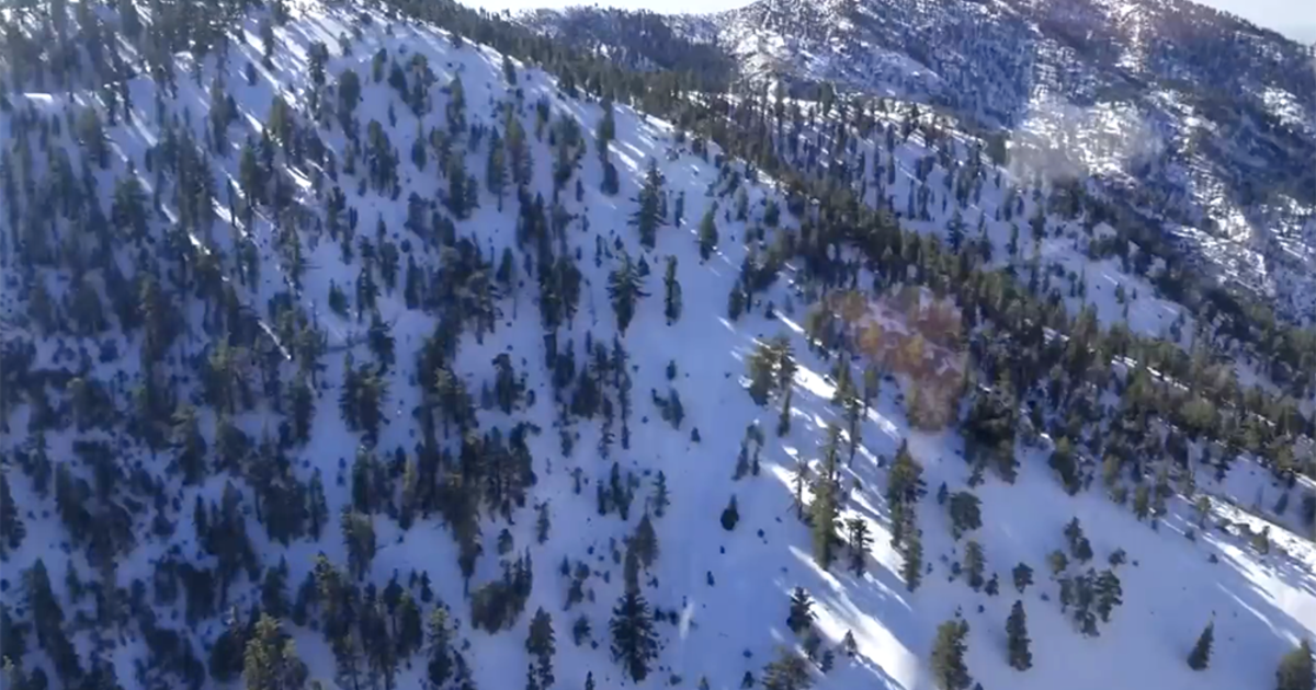
Our storm is already dropping snow over the mountains of West Virginia, and I just heard that there were reports of sleet/ice pellets near the Richmond, Va. area.
The storm will move offshore and transfer its energy to a new coastal low, which will intensify rapidly just off the coast of New Jersey through the day tomorrow.
There is going to be a lot of warm air pulled in off the ocean, as ocean water temperatures are still in the 60's, and this will ensure that the storm will begin as rain. Rain will begin to fall overnight, and should stay relatively light through the morning hours. As the storm ramps up offshore in the afternoon, rain will begin to fall heavily and the winds will howl. A Wind Advisory is in effect for the shore and portions of Delaware as winds could gust to 45 mph at the coast as the storm intensifies, and a Coastal Flood Warning impacts the shore and the bays as water will pile up in these areas and cause flooding in the usually prone areas.
Heavy rain, accompanied at times by lightning and thunder, will begin to mix with and then change over to heavy wet snow from the northwest to the southeast. The earliest changeover will be in the Poconos, where over 8 inches could fall (an isolated foot cannot be ruled out).
Next to go snow: the Lehigh Valley and Berks county, which will receive a heavy thump of snow through the evening hours, totaling around 4-8 inches with some locally higher amounts in the heavy bands. The near northwest suburbs, including Chester, Montgomery and Bucks counties, should be seeing 2-4 inches (again with locally higher amounts), and then around a coating to two inches in the city. Keep in mind that any banding that sets up could lead to locally higher snow amounts, while the high water content of the snow means that ratios will be low and the snow will compact as it falls.
These totals are for unpaved surfaces, because most of the snow in the city and nearby suburbs will melt once it hits the roads. But heavy snow will create reduced visibilities and horrible travel conditions, and the faster the snow falls, the better chance to see snow-covered roads, especially in the far north and west.
Snow should taper off after midnight, and could stick around for a while on Sunday as temperatures won't be able to rise above the mid-40's across the region.
