Tornadoes could hit some areas as massive winter storm moves east ahead of Christmas
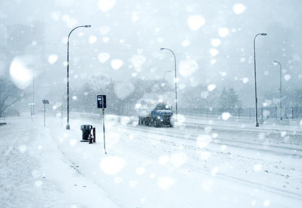
More than 90 million Americans are in the path of a severe winter storm that began with snow, strong winds and bitter cold in the eastern Dakotas and western Minnesota early Wednesday. It then began moving east, making travel treacherous and grounding flights on one of the most anticipated air travel days since the start of the coronavirus pandemic.
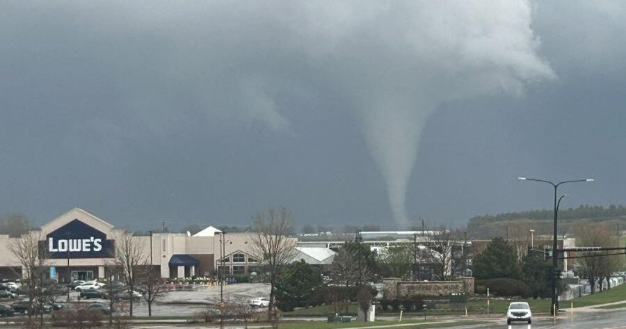
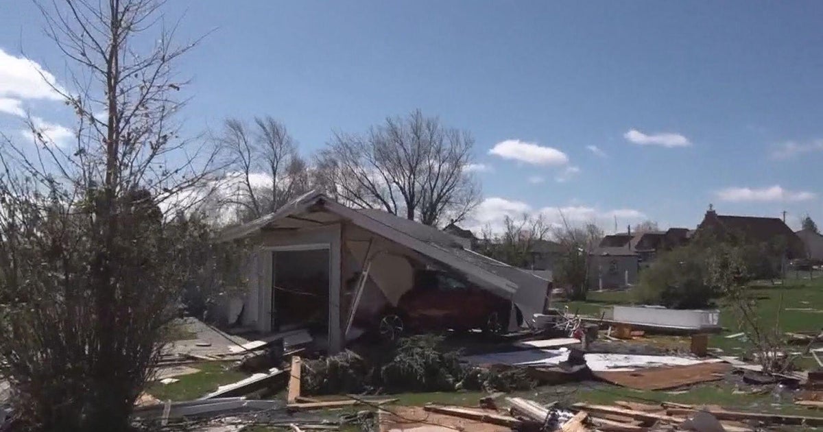
Areas such as Norfolk, Virginia, and Raleigh, North Carolina, could be at risk for tornadoes on Thursday, CBS New York weathercaster Lonnie Quinn said on Wednesday's "CBS Evening News."
Wind could reach "50, 60, 70 mph gusts in downtown New York City, downtown Boston. Mount Washington could very well come close to setting a record with winds over 150 mph," Quinn said, warning that there could be power outages on Christmas in the Northeast.
Blizzard warnings were posted in the region as National Weather Service officials called for wind chills to dip to minus-35 degrees Fahrenheit, pushed by gusts of more than 60 mph. Numerous travel advisories urged motorists to stay off the road and several highways were shut down altogether.
"Winter has come to the area," said Greg Gust, weather service meteorologist in Grand Forks, North Dakota.
CBS News meteorologist and climate specialist Jeff Berardelli explained Thursday that the storm is being caused by an unusual squall line that's sweeping across the nation. A squall line is a group of storms arranged in a line, often accompanied by high wind and heavy rain.
The storm was moving from southeastern Minnesota toward Eau Claire, Wisconsin, and northern Michigan Wednesday night. The heaviest snow band stretched from the Iron Range in northeastern Minnesota back toward Watertown in eastern South Dakota, Gust said.
Berardelli said the same storm system has led to a tornado watch from Mobile, Alabama, to Pensacola, Florida, as well as the Carolinas, particularly the area of Raleigh, North Carolina.
Cities farther north, like Pittsburgh and Buffalo, could see a white Christmas as the rain changes to snow, while the region from Washington, D.C. to Philadelphia, New York and Boston can expect high winds up to 70 miles an hour. Gusts could cause significant power outages in those areas into Christmas morning.
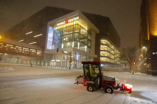
The storm was bearing down on the Twin Cities area Wednesday afternoon, where Gust said at least 8 inches of snow was expected.
The Minneapolis-St. Paul airport had experienced about 300 flight cancellations and 40 delays as of Wednesday afternoon, airport spokesman Patrick Hogan said. It was expected to be the third busiest day of the Christmas holiday travel period, behind this upcoming Sunday and Saturday, he said.
"Many people were able to get out this morning, but it could be tough going this afternoon and evening," Hogan said.
Earlier in the day, a large gathering of people showed up at Hector International Airport in Fargo, North Dakota, only to discover that most of the flights had been canceled due to high winds and low visibilities.
"Today was going to be probably our busiest day since COVID hit or definitely just before Thanksgiving," said Shawn Dobberstein, Fargo Airport Authority executive director. "Our building was pretty full this morning when American, Delta, United decided to cancel some flights."
Authorities in southeastern South Dakota responded to several multiple-vehicle pileups Wednesday, including one on I-29 north of Sioux Falls involving at least a dozen cars and a dozen semi-trailers, according to Dell Rapids volunteer firefighter Rick Morris. He said there were several non-life-threatening injuries and some emergency response vehicles were stuck, the Argus Leader reported.
Other motorists in eastern North and South Dakota opted to wait out the storm. The Coffee Cup Travel Plaza, one of the few stops on I-94 in northeastern South Dakota, was quiet on Wednesday morning, said Dani Zubke, a worker at the store near the town of Summit.
"There's blowing snow, low visibility and no travel advised," she said. "It has been very slow. I don't know that there are a lot of people out and about. There are times you can only see to the end of our parking lot."