Satellite images show levels of air pollution around the world
BERLIN -- Images taken by a new European satellite show the levels and distribution of air pollutants around the world, including ash spewing from a volcano in Indonesia.
The European Space Agency released images Friday made by its Sentinel-5P satellite that show high concentrations of nitrogen dioxide in parts of Europe on Nov. 22.
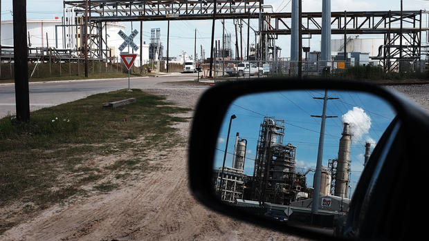
Nitrogen dioxide is mainly caused by vehicle emissions and in industrial processes. Another image shows high levels of carbon monoxide, commonly produced by fires, in Asia, Africa and South America.

Pepijn Veefkind of the Netherlands Met Office told BBC News that "it's been amazing to see how quickly we were able to get the satellite working."
He added, "This is a big improvement on what we've been able to do before. In just a week, we've got more data out of Sentinel-5P than in several years of operation of a previous mission."
A series of images also show sulfur dioxide, ash and smoke from the Mount Agung volcano in Bali last month.
Sentinel-5P, launched Oct. 13, can map levels of nitrogen dioxide, methane, carbon monoxide and other pollutants that can be hazardous to human health or contribute to global warming.