NEXT Weather: Arctic blast, more snow expected this week
This story is from Sunday. For Monday's latest forecast, click here.
MINNEAPOLIS – A burst of light snow is coming Monday, followed by the coldest temperatures so far this season.
Temperatures overnight Monday will be in the low single digits in the Twin Cities, but the rest of the state will be below zero – with southeastern Minnesota dropping as low as minus-8 degrees.
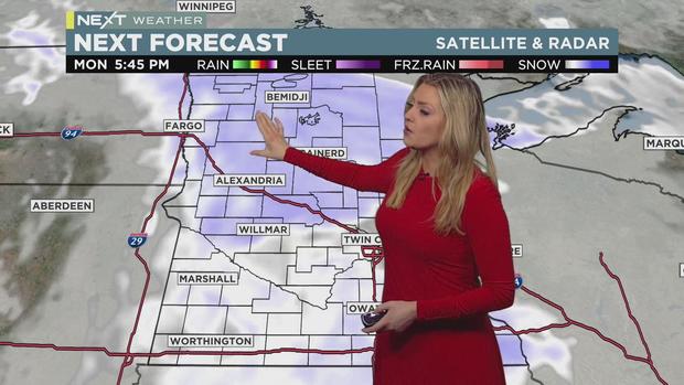
A storm system will move into Minnesota starting after 8 a.m. Monday, reaching the metro by noon. The morning commute will be spared, but the evening will be impacted. The system will exit the state by about midnight Tuesday, leaving the metro with 1-2 inches of accumulation.
Monday's high will only reach 16 in the metro, with much of central and southern Minnesota also in the teens. Western and northwestern Minnesota will be in the single digits.
Tuesday's high will be 8, while Wednesday and Thursday -- which each bring the possibility of plowable snow -- will both be 1 degree. Friday's high will be zero, while this weekend's highs will warm just slightly.
Thursday and Friday in particular will also be windy, bringing the possible threat of dangerous wind chill.
Low temperatures will be subzero Tuesday through Saturday, with Thursday bottoming out at minus 12.


