South Florida to stay warm, humid to kick off new workweek

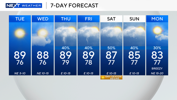
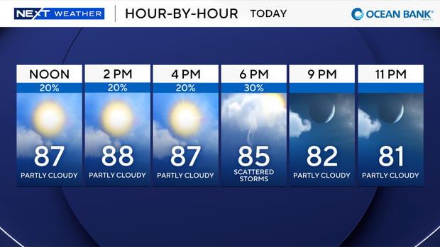
The CBS News Miami NEXT Weather team is tracking a dry and warm start to the week across South Florida.
A boundary front attached to the remnants of Hurricane Isaias will drop down across the Florida peninsula today.
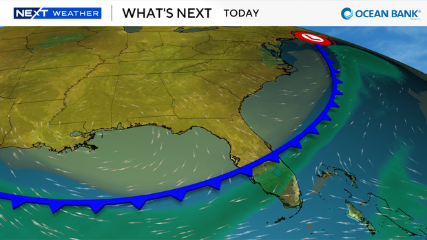
Much drier air will be pulled down across the state as the boundary moves in.
We'll see very dry weather through Wednesday night.
Tropical moisture moves back into our region on Thursday.
We'll see several rainy days, including next weekend.
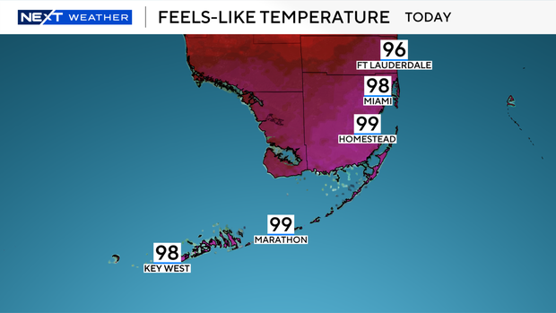
It will feel hot again on Monday, just not as hot as Sunday.
Most of us will deal with "feels-like temperatures" in the upper 90s.
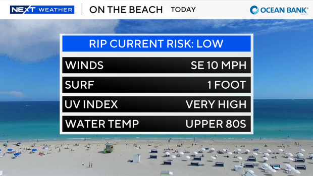
It's a great day for the beach, too.
If you're off on Monday, there's a low rip current risk, so you can dive in and cool off.
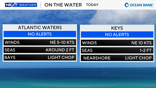
There's also no issues for boaters today in the Atlantic and Keys.