Tropical moisture could fuel showers, storms in South Florida as region stays steamy

The CBS News Miami NEXT Weather team continues to track toasty conditions across South Florida, but tropical moisture could help provide relief in the form for scattered showers and storms later today.
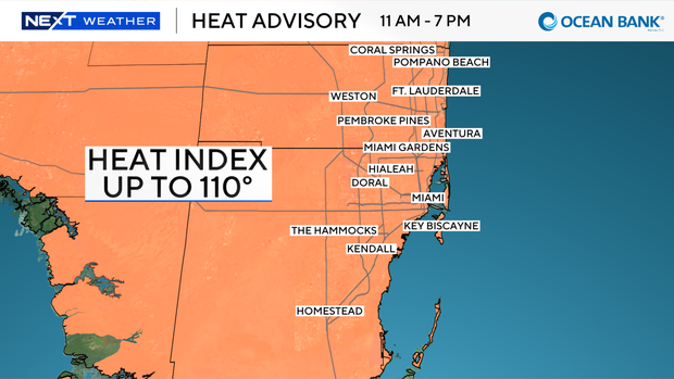
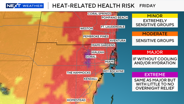
Another heat advisory will be in effect for most of South Florida from 11 a.m. until 7 p.m. Friday as "feels-like" temperatures as high as 110 degrees are possible.
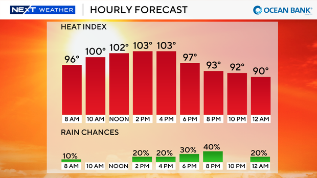
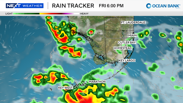
After a dry start to the day, rain chances will increase for the afternoon and early evening hours as a disturbance moves near South Florida.
This will bring a 40% chance for scattered showers and storms, mostly between the hours of 3 p.m. and 8 p.m.
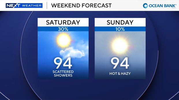
Another 30% chance for scattered showers and storms will be possible on Saturday, but this will heavily depend on how far north or south the disturbance moves across the area.
No heat relief is in sight for the weekend and upcoming workweek as afternoon highs remain in the lower to mid-90s with heat index values around 110 degrees.
The next round of Saharan dust arrives on Sunday and lingers through the upcoming workweek, keeping hot, hazy, and mostly dry conditions in the forecast over the next seven days.
Beachgoers need to avoid swimming on Friday as a high rip current risk is forecast across the Broward and Miami-Dade coast due to breezy conditions.
The risk drops slightly for Saturday.