Atmospheric river brings light to moderate rain to Los Angeles, another storm is on the way
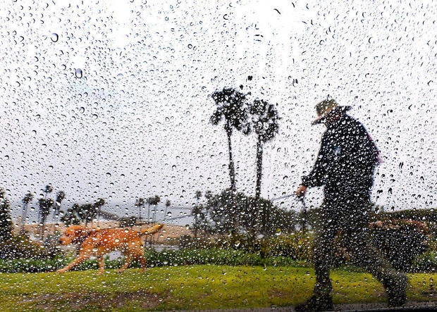
A rainstorm caused by an atmospheric river brought light to moderate rainfall throughout the Los Angeles area. A second storm is already making its way toward the region.
The National Weather Service said the first storm system underperformed across most of the area. As of 5 a.m. Wednesday, Los Angeles and Ventura counties had received .25 to .50 inches of rain.
"It actually isn't producing as much rain as what we thought, which is great news, that means it's not going to be too harsh on all our recent burn scars and we aren't looking at any of the flooding," KCAL News Meteorologist Amber Lee said.
Light showers will continue throughout the morning but will taper off and dry out by the evening. Temperatures will remain cool with highs averaging in the 60s.
Local officials closed Pacific Coast Highway near the Palisades Fire burn scar area as a precaution to potentially dangerous mudslides and debris flow. Although rainfall totals have been low so far, the threat of a disaster remains.
The NWS said the rainfall rates helped slightly decrease the fire danger. The moist flow between the first and second rainstorms will keep mostly cloudy skies.
The second storm is caused by another atmospheric river coming from the coast, forecasters said. It is a small system that will bring beneficial rain with low impacts and will be colder than the first storm. The rain will start Thursday night and continue into Friday morning.
Much of Los Angeles and Ventura counties could get between .25 and 1 inches of rain. The mountains and foothills could receive 1 to 2 inches of rain.
A warming trend will develop heading into the weekend. Temperatures will rise slightly but will remain cool.


