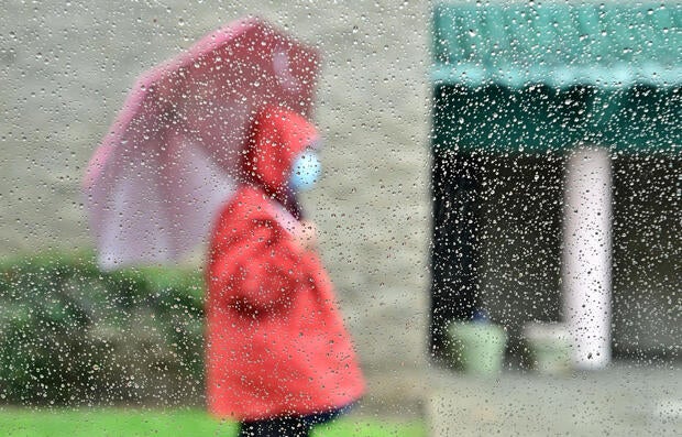
Scattered showers linger across Southern California as heavy rainstorm moves east
A cold front that brought flash flooding and severe thunderstorms to the Southern California region has made its way east, but some scattered showers remain Friday morning.
Communities across the region experienced mudslides and dangerous conditions from the heavy rainfall. Evacuation orders and warnings were issued in several counties with particular attention to burn scar areas. Most warnings will remain through Friday afternoon, while all evacuation warnings in San Bernardino and Ventura counties were lifted in the morning.
KCAL News Meteorologist Amber Lee said on and off light, scattered showers will continue until the afternoon.
"Expect an additional 0.10 to 0.25 inches depending on where you live," Lee said.
A flash flood watch issued by the National Weather Service expired Thursday night. A wind advisory will go into effect at 10 a.m. Friday and remain until 4 a.m. Saturday for parts of Ventura County.
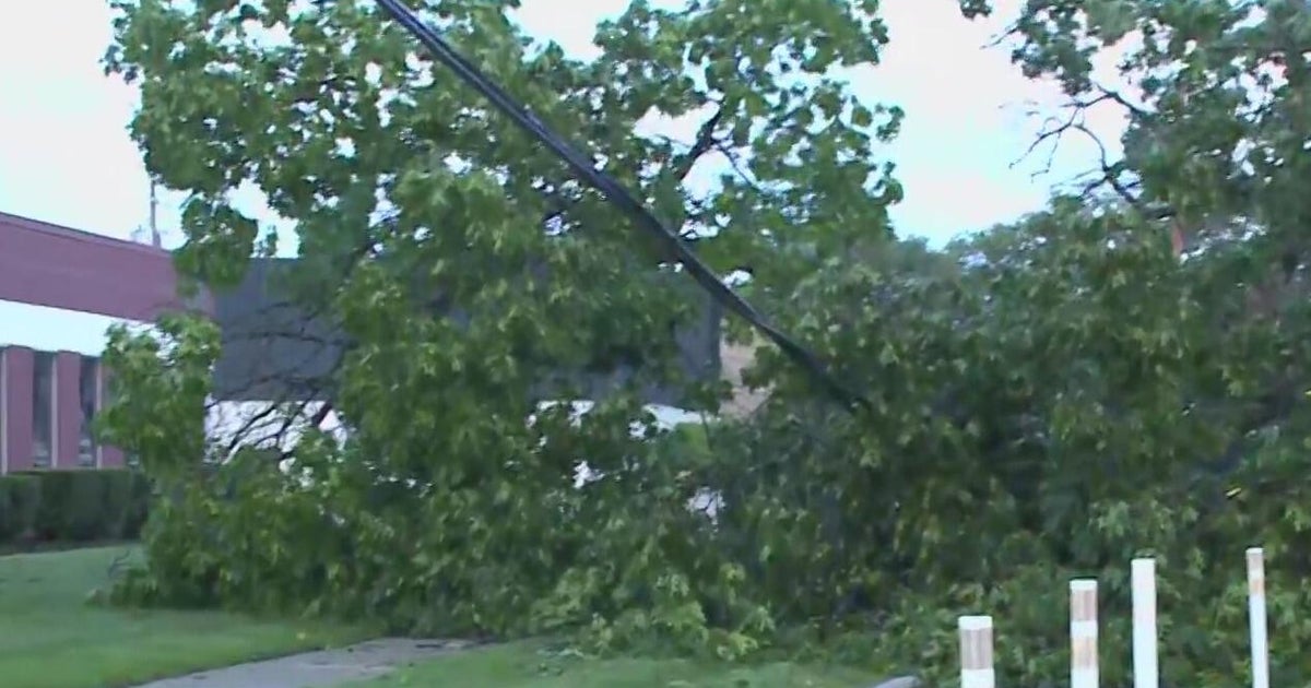
The NWS said northwest winds between 20 to 35 mph with gusts up to 55 mph could cause unsecured objects to low around. They warn about tree limbs falling and possible power outages in some areas.
Rainfall totals in Los Angeles County over the last 24 hours:
- Beverly Hills: 2.46 inches
- Hollywood: 2.67 inches
- Downtown LA: 2.68 inches
- Canoga Park: 2.01 inches
- Agoura: 2.44 inches
- Eaton Dam: 3.13 inches
- Claremont: 3.34 inches
- Mount Wilson: 2.83 inches
- San Gabriel Dam: 5.39 inches
Lee said the downtown LA area has received 5.51 inches of rain since Oct. 1. The normal amount for this area is usually 8.69 inches and the annual average is 14.25 inches.
As the storm continues to move out of the area clouds will clear and the sun could make an appearance. Temperatures will increase by three to six degrees but will still be on the cooler side.
Recent record rainfall totals:
- Downtown LA: 2.80 inches from this latest storm, beating the old record of 2.71 inches from 1954
- Big Bear: 2.20 inches, beating the old record of 1.71 inches from 1992
- Ontario: 1.87 inches is the new record, beating the old record of 0.70 inches from 2001
- Fullerton: 1.80 inches new record, beating the Oold record of 1.19 inches from 2001
- Riverside: 1.23 inches new record, beating the old record of 0.93 inches from 1980
- Santa Ana: 1.23 inches new record, beating the old record of 0.78 inches 2001
A warming trend will develop over the weekend and into next week. Saturday's conditions will be pleasant with the sun coming out. Lee said there is no rain in the forecast next week.