The Heat Goes On
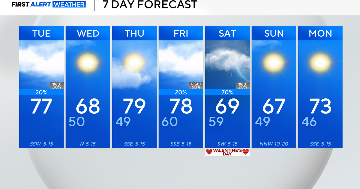
Our unseasonably warm pattern holds through the work week and into the weekend as temperatures peak near the 80 degree mark and humidity slowly returns to North Texas. We are seeing some of that moisture return today evidenced by slightly increased humidy in the lower levels and clouds in the upper layers. The thin veil of clouds sticks with us through the day and will increase Wednesday and Thursday as the southern jet remains in place over North Mexico and channels across Texas.
Small disturbances along the path will trigger spot showers and storms for West Texas, Central Texas and South Texas. But, North Texas will stay dry through Thursday. That's when a weak upper level low pushes in from the west and trigger spot storms in western areas of North Texas by afternoon and evening. During the overnight hours, there is a better chance for the spot activity to approach the Metroplex. While Friday from morning into the evening hours, isolated storms are possible for all of North Texas. Severe weather is not expected, but locally heavy rain and lightning are possible with a few of the storms.
The system should clear in time to bring a sunny, warm weekend with temperatures in the low 80s Saturday and mid 80s Sunday. Sunday will be windy as another large storm system develops to our north. We could get showers and storms out of this storm system, but it looks likely for eastern parts of North Texas.
