Happy Thursday Family!
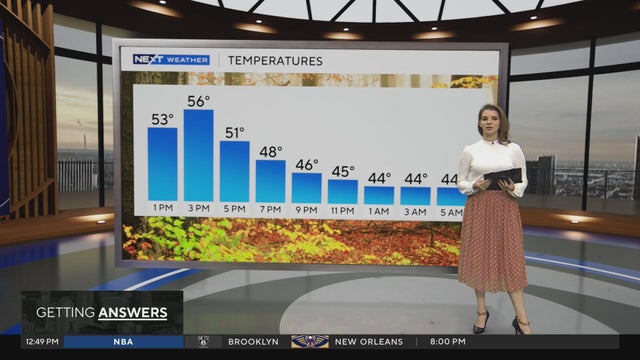
Shower chances increasing today as a strong cold front sweeps from north to south over the region this afternoon. High temps will be in the mid to upper 40's. The front also brings in a much colder air mass with gusty north wind meaning temps today and tonight will feel much colder. The inbound cold air activates lake effect rain/snow showers tonight through Saturday. Minor wet snow accumulations are likely across the Thumb, mainly near Saginaw Bay and the Port Huron vicinity.