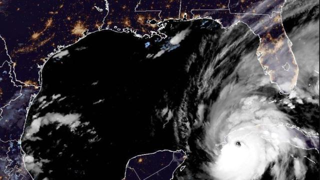
Hurricane Ian hits Cuba as a Category 3 storm, on track to hit Florida
The powerful storm hit western Cuba early Tuesday, and is expected to strengthen even more before dealing a blow to Florida's west coast.
Watch CBS News
The powerful storm hit western Cuba early Tuesday, and is expected to strengthen even more before dealing a blow to Florida's west coast.

Rapidly rising water overtook dams and forced the evacuation of about 10,000 people in central Michigan, where flooding struck communities along rain-swollen waterways.

According to the U.S. National Weather Service, smoke from the California wildfires is now affecting the skies high over states like Ohio.
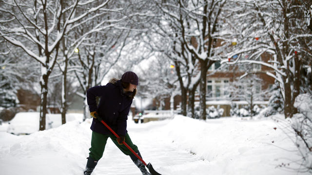
A Wind Chill Advisory will go into effect later tonight for all of southeastern Michigan.

The warning has been issued because of large waves and wind gusts along the coast of Lake Michigan. The warning applies to the entire coastline running from Traverse City all the way south to Indiana.
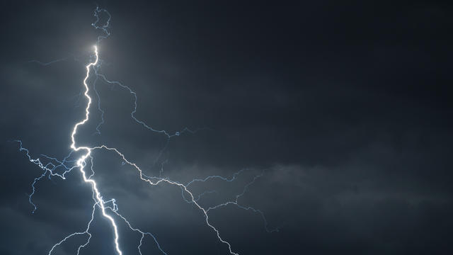
The National Weather Service has issued a Severe Thunderstorm Warning for a large portion of the western Metro Detroit area until 8:30 p.m.

The weather service says Traverse City saw about 10 inches. Along western Michigan, the community of Scottville received 9.8 inches, the Holland area had 8 inches and the Muskegon area had 6 inches.

Will we see another polar vortex... or the polar opposite?

"It has the potential to be one of the stronger storms we've seen in a while."
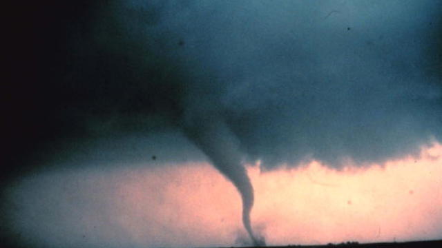
Big storms could create a different kind of fireworks for metro Detroit Monday.
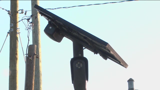
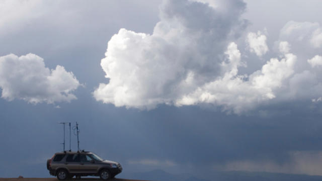
"They actually act as our eyes and ears," said Vicki Wolber, the Director of Emergency Management in Macomb County.
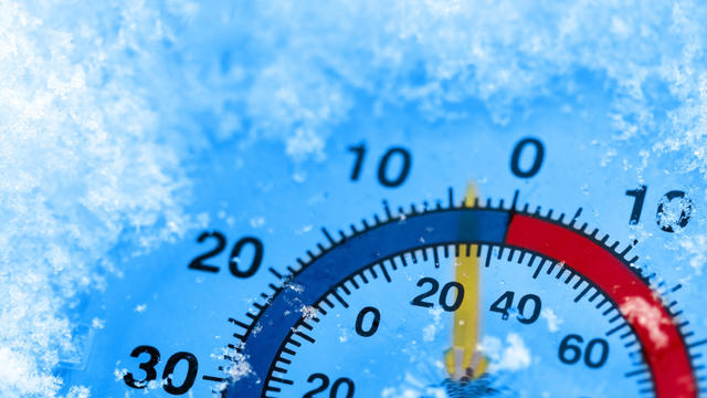
"Detroit right now sits in fifth place for the coldest month of all time..."

As Detroit tied a record low Monday, cities across the state broke decades-old records the National Weather Service reports.

The National Weather Service said Wednesday that 20.4 inches of snow fell in Ottawa County near Allendale and 17.2 inches fell in East Grand Rapids.

"Lots of flooding, downed wires, downed trees, traffic lights out — it's a mess,"
Trained spotters for the National Weather Service report a 65 miles per hour wind gust around 7:30 p.m. near Holly.

The National Weather Service offers an explanation for the fall-like temps.

A severe thunderstorm watch was issued for the overnight hours for some areas of southeast Michigan.

Meteorologists are tracking a so-called "derecho" weather pattern that could spawn severe windstorms in major Midwest metro areas with gusts as strong as 100 mph.

The National Weather Service holds Skywarn Spotter Training classes this Spring in southeast Michigan.

Melting of abundant winter snowfall and rains are expected to result in high water levels in many of Michigan's rivers this spring, creating flooding and affecting recreation.
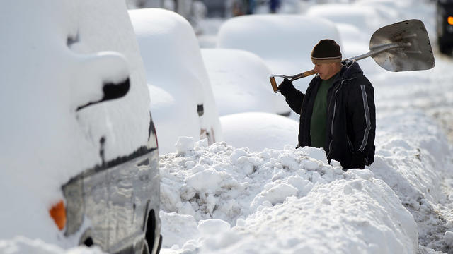
A late winter storm has dumped as much as 15 inches of snow on Michigan's Upper Peninsula, with up to 2 feet forecast in places.
The National Weather Service has issued a Wind Advisory in effect until 10 p.m.
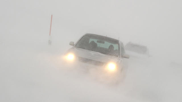
Sleet, freezing rain and snow are expected to hit Metro Detroit Thursday night into Friday morning.
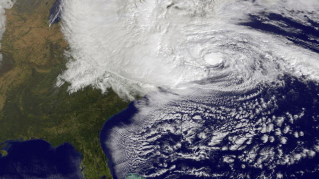
As the east coast braces for the impact of Hurricane Sandy, a wind advisory is in effect in Southeast Michigan.