Storms expected to return Wednesday evening in Southeast Michigan

Strong-to-severe storms are possible again this week in Southeast Michigan, with a focus on Wednesday evening.
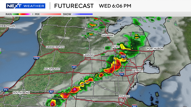
Between 3-9 p.m., a cold front will move through the region, bringing a risk of isolated strong thunderstorms. We have gas in the tank and a cold front at a good time of day for storms, but the right mixture in the environment may allow the line to fire just a bit more to our south.
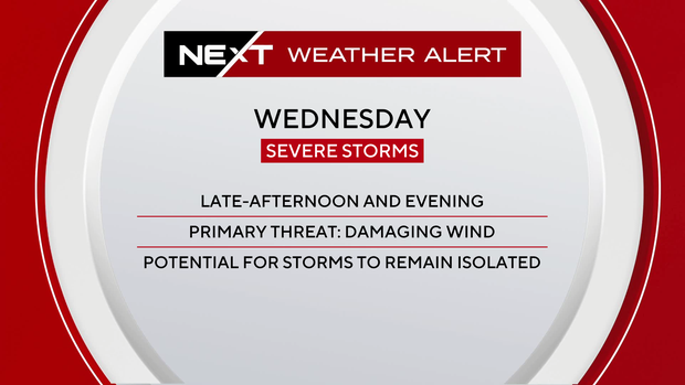
Another factor would be where storms remain elevated, or not fully connected to the environment closer to the ground, for added moisture and heat to fuel them. However, damaging wind gusts, hail, and even an isolated weak tornado risk do exist.
The Storm Prediction Center has the Mitten in a marginal (1 out of 5) risk for storms, with areas along and south of Interstate 96 in a slight (2 out of 5) risk.
Wednesday is a NEXT Weather Alert Day, and the weather team will monitor conditions closely for any updates or changes you need to know about.