More storms headed to Southeast Michigan on Thursday

Two nights of storms are possible, fueled by our daytime heat, and on Thursday, an arriving cold front.
The first severe risk is on Wednesday night.
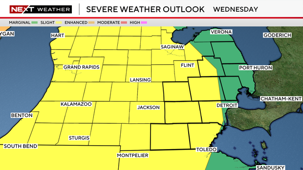
We have a slight risk (2 out of 5) for all hazards late Wednesday and overnight.
A complex of storms will move across the region from west to east later Wednesday evening.
There are still some questions about how strong they will remain once they reach Southeast Michigan, and there remains a very real possibility that Wednesday night will end up with just a few showers.
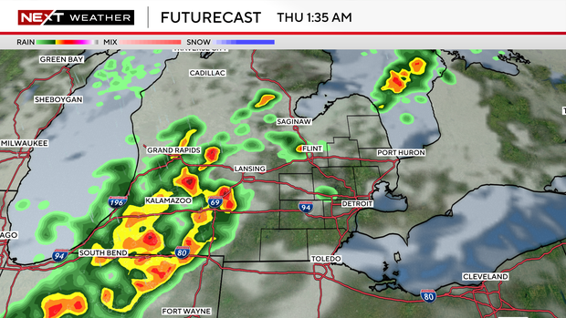
Wednesday is likely our trickiest night out of the two.
Make sure you have overnight alert abilities tonight, but especially for tomorrow night.
Thursday night is the primary risk, but it's also the best boom or bust potential.
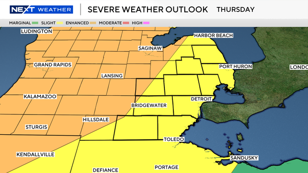
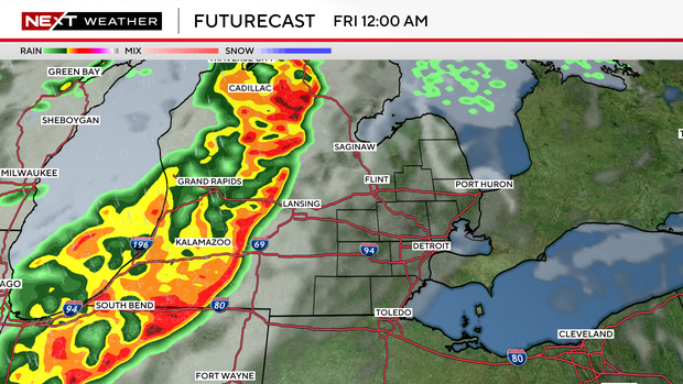
On the boom side, all hazards will be possible from a strong line of storms in the evening hours, continuing into the first part of the night.
The enhanced and slight risk categories (3/5 and 2/5) cover Southeast Michigan.
All hazards, but wind in particular, will be on the table for these Thursday night storms.
In both events, the worst storms are expected to hit western Michigan.
The CBS News Detroit NEXT Weather Team will continue to monitor and keep you updated on any changes.