EF-2 tornado struck Detroit's east side, National Weather Service confirms

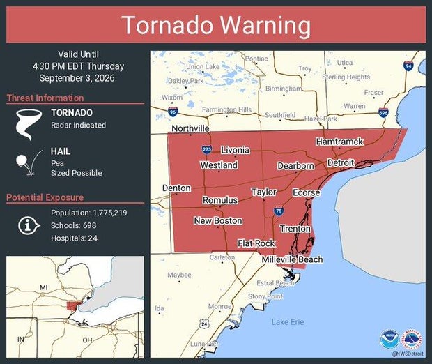
The National Weather Service has confirmed that an EF-2 tornado struck Detroit on Thursday afternoon amid a blast of severe weather that prompted tornado warnings for several Southeast Michigan counties.
The tornado, which started about two miles northeast of Comerica Park, reached a top wind speed of 115 miles per hour and was 3.5 miles in length and a half-mile wide.
A tornado warning was issued for Wayne County just before 4 p.m. Thursday, with the tornado touching down at 4:14 p.m. The tornado lasted for four minutes.
It's the first tornado to touch down in Detroit since July 2, 1997.
The NWS sent a team to Detroit on Friday morning to survey damage after the suspected tornado hit the city's east side Thursday afternoon. The survey area was from Hamtramck to Detroit to Belle Isle.
The tornado headed across the Canadian border into Windsor, and weather reports from Ontario authorities are pending.
Tornadoes are rated via an estimated wind gust speed in the Enhanced Fujita Tornado Scale. An EF-0 tornado is estimated at up to 85 mph, and an EF-1 tornado is estimated at between 86 mph and 110 mph.
An active tornado season in Michigan
This is Michigan's 28th tornado of the year. A tornado that caused tree damage in St. Clair County on Wednesday evening was confirmed as Michigan's 27th tornado of the year.
Michigan saw one of its most active tornado seasons on record in 2025, with 33 tornadoes confirmed in the state.


