Colorado Weather: More heavy rain and flooding concerns coming later this week
After a weekend of wild weather across the state, the pattern for a little less heat and wetter thunderstorms will be with us for the new work week.
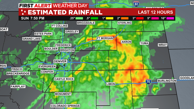
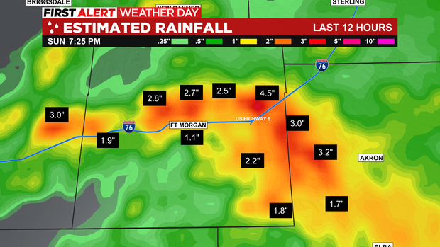
Flash flooding was a major problem for several burn scars Sunday. Including the Cameron Peak, Calwood and Hayman burn areas. Flash flooding also created dangerous problems in Colorado Springs, Fort Morgan and many areas on the eastern plains into Sunday evening. Some areas picking up anywhere from a half inch to 4 inches of rain!
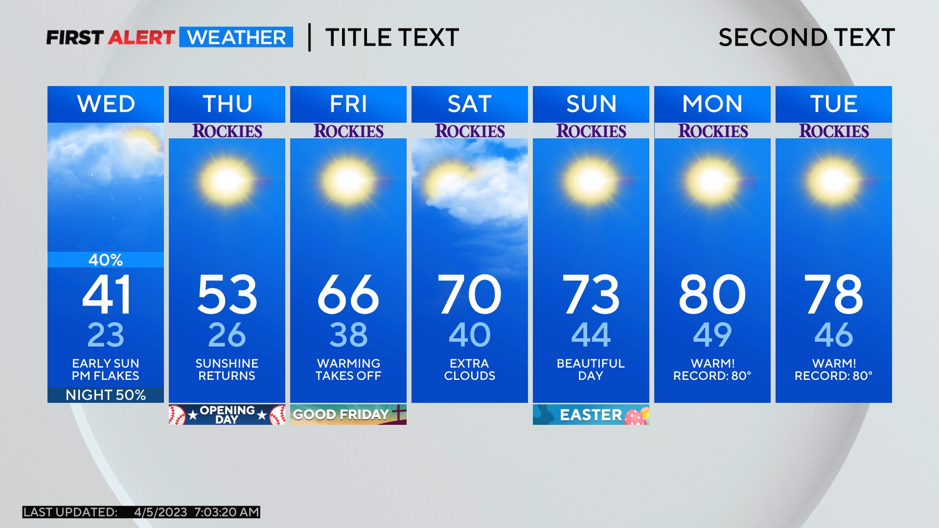
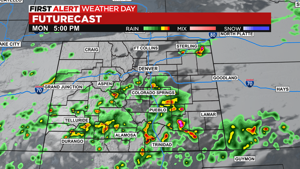
The first few days of the new week will inch back to the upper 80s and lower 90s along the Front Range and the Eastern Plains with isolated afternoon/evening thunderstorms mainly over the southern 2/3rds of our state. The chance for rain around Denver, Boulder, and Fort Collins on Monday is so low we're leaving it out of the forecast.
The next big thing will be another cold front and monsoon surge on Thursday and Friday. This will bring back low 80s and the threat of heavy rains and possible hail with several storms.
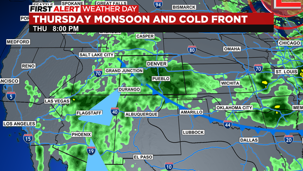
Confidence is high enough that widespread rain and the potential for flash flooding will impact Colorado on Thursday that CBS News Colorado has declared a First Alert Weather Day.