Snow and cold air coming to Colorado through weekend
Two major events will be impacting Colorado over the next few days.
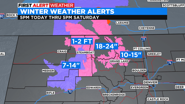
First, we have snow really ramping up in northwestern Colorado overnight tonight and lasting through Saturday night.
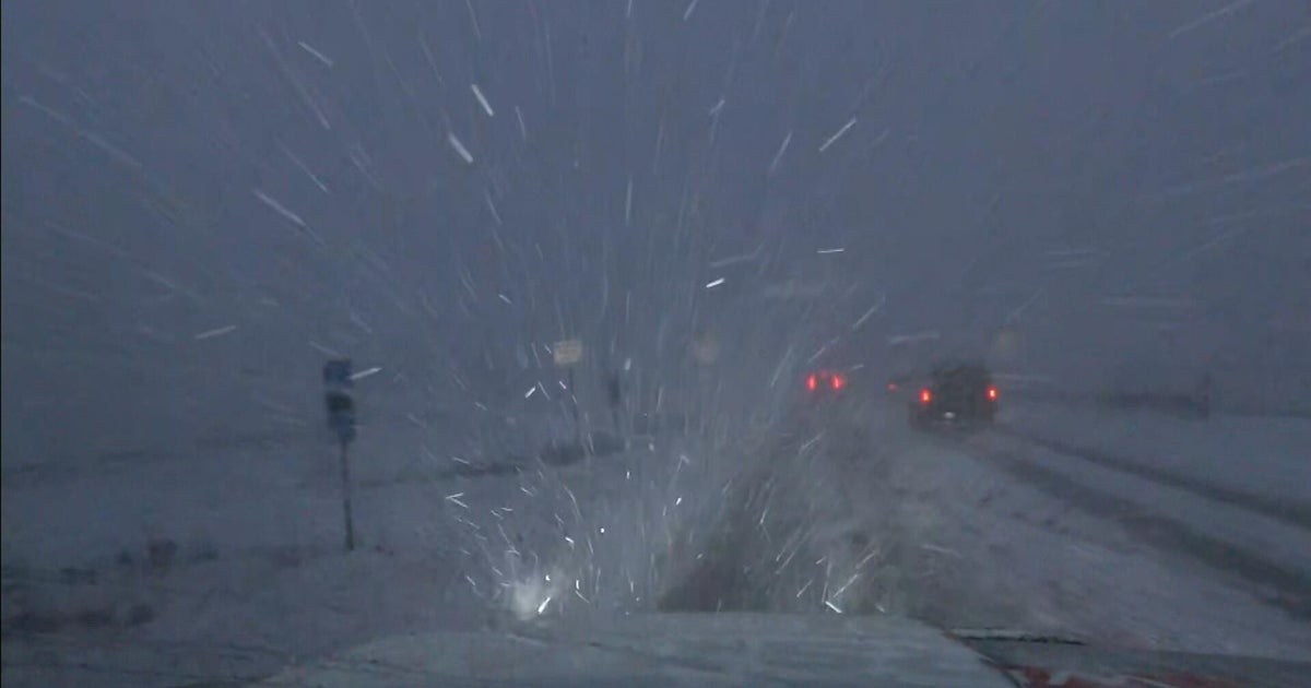
We have Winter Storm Warnings and Winter Weather Advisories for most of our northwestern mountains where feet of snow are likely to fall. Add in 45- to 60-mph wind gusts, and travel along Rabbit Ears Pass and Highway 40 will be tough.

This jet streak-induced snow will keep going through Saturday, possibly evening or Sunday morning before getting much lighter.
Now for the Front Range, while we could see a little snow this weekend, our major impact will be the Arctic air that will push into the eastern side of the state on Saturday morning. This will be the cool-down, but the real cold air won't settle in until Sunday when we drop to the teens with overnight lows dropping below zero.
Monday we probably won't make it out of the single digits. We'll get warmer by Wednesday with highs getting closer to freezing and back above freezing by Thursday.
Denver could see freezing drizzle first on Saturday before snow later in the day. Not a great layer of moisture on top of the icy conditions we have in so many areas. We could see light snow on and off through Monday, with 1 to 3 inches looking likely.