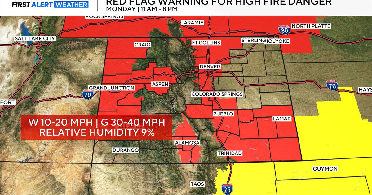
One more warm day in Colorado before big changes arrive by the weekend
Friday will again bring another above average afternoon, however, today will come with more clouds across our sky. If you're looking to spend ample amounts of time outside, today would be the day to do so.

High temperatures will be warm this afternoon, climbing into the mid to upper 70s across the Denver metro area. Eastern Colorado could see highs climb into the 80s, where sun will linger a little longer.
Warmth in the high country will keep initial rounds of precipitation as a rain and snow mix.
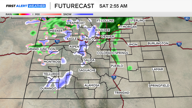
The wet weather will arrive in two waves going into the weekend, with the first arriving late Friday.
By Friday evening, spotty rain showers will begin to fall, mainly north of the Denver metro area. Overnight showers will become more widespread and will fall off and on through Saturday morning.
Rain and snow in the mountains will begin to transition over to snow as temperatures cool.
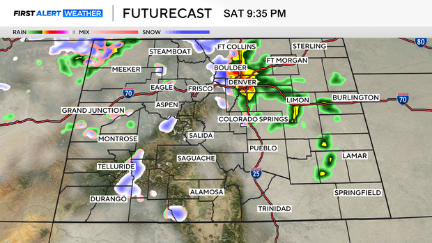
We will see a lull in the precipitation on Saturday afternoon, with just a few spotty showers possible. By Saturday evening the next wave of precipitation will move in. Overnight rain showers will transition over to a rain/snow mix. The Palmer Divide, foothills, and the eastern plains could see a little more snow than rain as temperatures will cool enough to allow that transition.
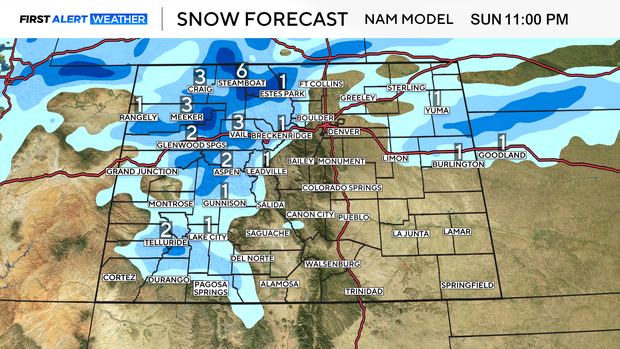
Snow totals in the high country won't amount to much, as snow levels will likely be above 9,000 feet. For mountain areas above 8,000 feet, we could see 1 to 3 inches of snow. Above 9,000 feet, totals will range from 2 to 6 inches.
As far as the lower elevations, trace amounts of snow are expected.