Warming Trend North, Rain/Snow South
DENVER (CBS4) - Our state will be split in half for the beginning of the work week.
High pressure will be moving in over northern Colorado with an upper level low bringing in snow and rain over southern parts of the state to start the week.
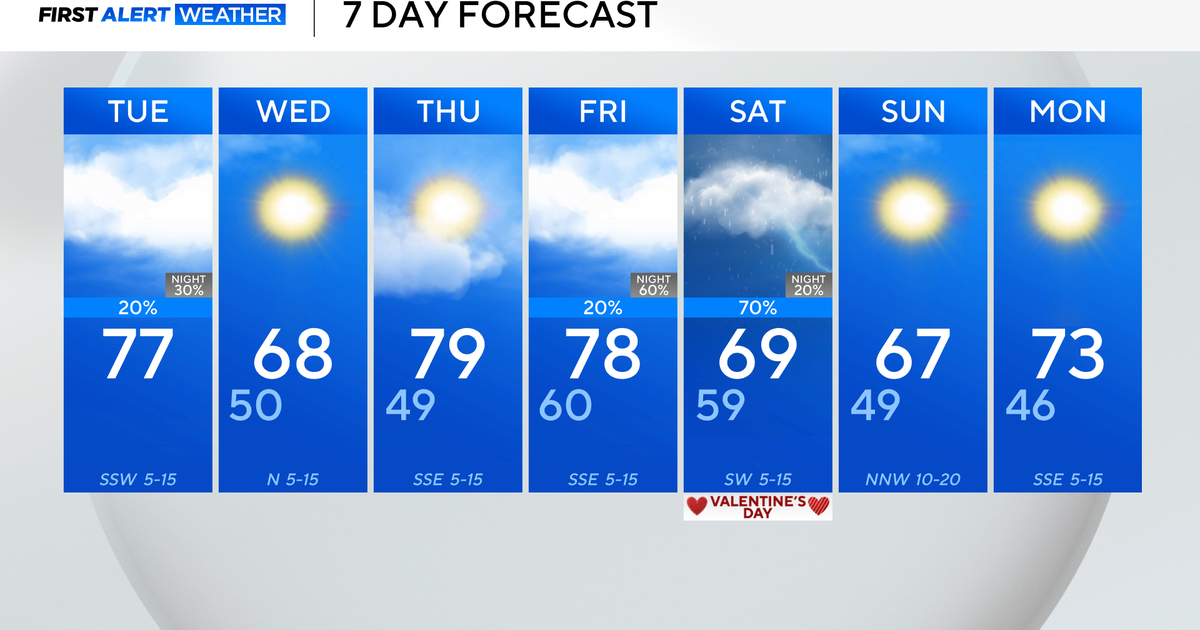
The high pressure ridge will bring partly cloudy skies over northern Colorado with the beginning of a gradual warming trend for the Denver metro area.
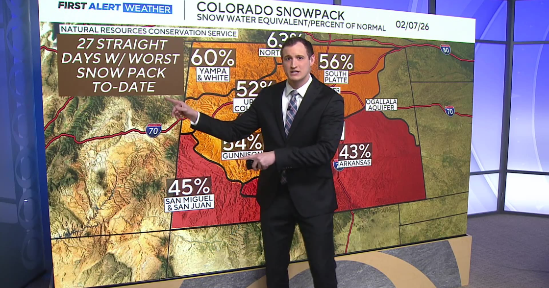
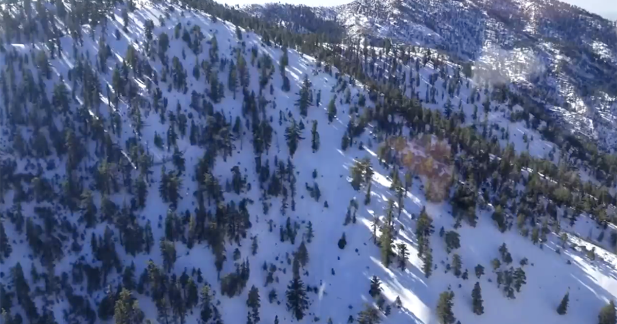
Southern parts of the state will have dramatically different weather with an upper level low moving into New Mexico bringing in mountain snow to the San Juans and Sangre De Cristo mountains. The San Juan ranges have a Winter Weather Advisory in place through 9pm Monday night for 4 to 8 inches of snow. The southeastern corner of the state will have a rain/snow mix with accumulations on the grass around 1 to 3 inches.
The metro area should get back to the 60s with a little wind by Thursday.

Meteorologist Dave Aguilera is a Colorado native and has been forecasting weather in the Rocky Mountain region for over 25 years! Connect with Dave on Facebook and on Twitter @DaveAgCBS.


