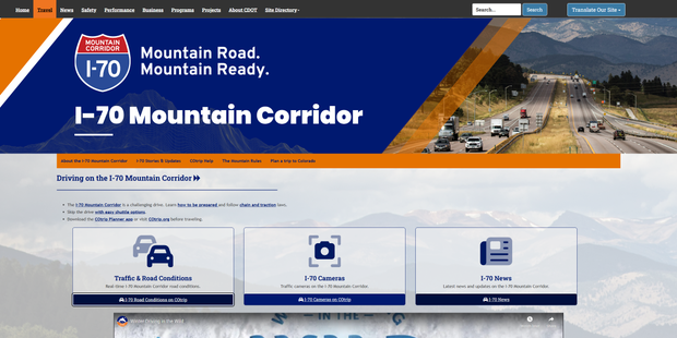
I-70 mountain corridor homepage offers Colorado drivers highlighted travel information

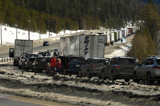
Anyone who has driven Interstate 70 into Colorado's high country knows how quickly a fun-filled ski day can turn into hours of gridlock traffic or even a full closure. Now, CDOT has launched a new online tool designed specifically to help mountain travelers avoid those headaches.
The new I-70 Mountain Corridor webpage compiles everything drivers need to know, including live cameras, current road conditions, weather impacts, traction laws, and closure alerts, all in one place. While much of the information already existed on COTrip and the COTrip app, CDOT says this page is meant to be a streamlined, easy-to-find resource for one of the state's most unpredictable stretches of road.
"It started in early November," Austyn Dineen, I-70 mountain corridor communications manager for CDOT, said. "All this data really lived in COTrip, but this is an additional resource for people to find information when they're regularly traveling the corridor."
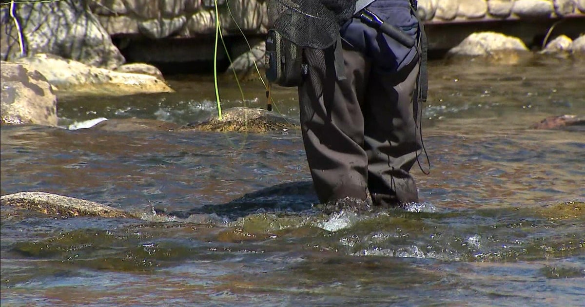
The I-70 mountain corridor (defined as the stretch from Golden to Glenwood Springs) runs through steep elevation changes, tight curves, and rapidly shifting weather patterns. That combination makes it some of the most variable and potentially dangerous stretches, with Vail Pass being one of the main offenders.
"It's still a mountain road," Dineen said. "It's high elevation and has sharp curves; it can be extreme conditions out there, and that pulls resources from all over the state to keep the road as safe as possible."
CDOT's new webpage highlights that message with a simple tagline: "Mountain Road, Mountain Ready." Drivers can now quickly check travel forecasts, see plow status, and preview live camera feeds before heading out.
The agency states that preparation is crucial because detours on this corridor are often lengthy and slow.
"With I-70 being the only east-west major thoroughfare for the state, detour routes are lengthy," Dineen said. "They can be time-intensive."
The new site is also designed with visitors in mind, those who may not realize how rapidly conditions can shift in Colorado's high country.
"No matter if you live in Colorado or you're traveling from out of state, it's important for everyone to know I-70 is different," Dineen said.
CDOT says if this webpage proves successful, it may create additional route-specific homepages for other heavily traveled corridors that also experience frequent weather and construction impacts, like Highway 9, or Grand County mountain passes.