Dangerous Flooding: Larimer County Issues Warning For Glen Haven, Voluntary Evacuations Issued In Parts Of Cameron Peak Burn Area
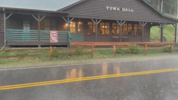
(CBS4) - Larimer County issued a dangerous flooding alert for The Retreat at Glen Haven on Friday night. According to the Glen Haven Volunteer Fire Department, there is a big surge heading into the Retreat and people were urged to take higher ground.
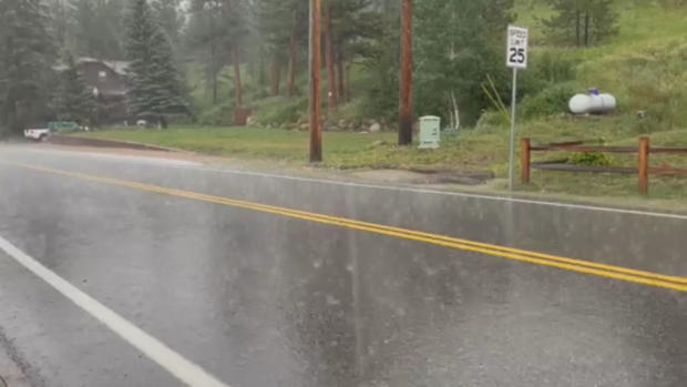
The Flash Flood Warning for Glen Haven and Masonville in Larimer County continues until 9 p.m.
Larimer County also issued a dangerous flooding warning for County Road 44H east of Pennock Rass, because CR44H is washed out approximately 6 miles west of County Road 27 with rain continuing in the area.
Larimer County also issued a voluntary evacuation notice for residents and business occupants because of the potential for flooding in the area south of County Road 44H along County Road 27 south to Bobcat Ridge, west to Crystal Mountain Road.
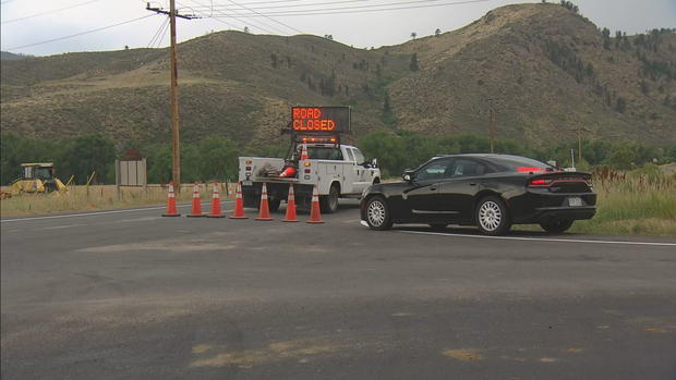
Officials in Larimer County closed Highway 14 on Friday afternoon due to the threat of flash flooding. Highway 14 reopened several hours later at 8:30 p.m.
The National Weather Service issued a Flash Flood Warning for the area around the Cameron Peak Fire burn scar. A voluntary evacuation is also in place.
The Highway 14 closure was from Rustic to Laramie River Road, in the same area where there were deadly mudslides earlier this month. Local traffic was only allowed on Highway 14 in the area that's open further east in Poudre Canyon.
The American Red Cross of Northern Colorado has opened an evacuation center for those displaced or needing services due to flooding in the Cameron Peak Fire burn scar areas. The evacuation center is located at Foundations Church, 1380 N Denver Avenue, Loveland, CO 80537.
The Larimer County Sheriff's Office said there is potential for flooding along Highway 14 in the following area:
- From mile marker 80 to mile marker 92 (Shady Rest Lane east to Indian Meadows)
Residents in that area are advised to evacuate "if they are concerned for their safety, feel they need additional time to exit the area, or have health conditions that may be aggravated by this incident."
It's also recommended that pets and livestock be taken out of the area.
Get more information at nocoalert.org.


