Watch CBS News

Mandatory & Voluntary Evacuations Ordered At Cameron Peak Fire

LARIMER COUNTY, Colo. (CBS4) - Mandatory evacuations were ordered near the Cameron Peak Fire in Larimer County on Saturday. Increased fire activity on the eastern side prompted authorities to issue the orders.

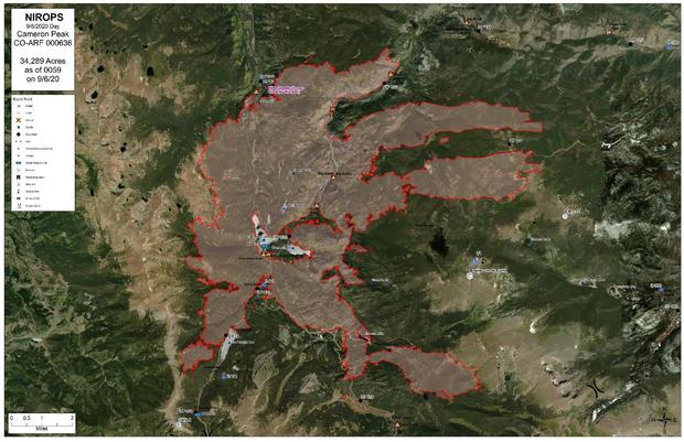
Those living on Pingree Park Road, Highway 14 from the Fish Hatchery east to Kelly Flats were told to leave their homes.

cameron peak fire smoke 1 (inciweb)
Smoke from the Cameron Peak Fire (credit: Inciweb)

Those living on Buckhorn Road from Pennock Pass to County Road 27 were upgraded to mandatory evacuations as of 11:45 a.m. on Sunday.

cameron peak fire (choy)
Cameron Peak Fire seen from Grand Lake. (credit: CBS)

Residents along the northern edge of the fire, including Crystal Lakes, Red Feather Lakes and Goodall Corner were placed under a voluntary evacuation order. The same goes for those living east of Pingree Park Road to Stove Prairie Road.

Cameron Peak fire from Choy
Cameron Peak Fire seen from Grand Lake. (credit: CBS)

Cache La Poudre Middle School on County Road 54G in Laporte will serve as a shelter. Small animals can be taken to the Larimer County Humane Society. Those with large animals are asked to contact Troy Badberg at 970-443-3231.

This aerial footage is of the #CameronPeakFire approximately two hours ago. This was captured by the @Colorado Division of Fire Prevention and Control multi-mission aircraft (MMA). The video is from the south - near the northern Rocky Mountain National Park boundary - looking north. The beginning of the video is looking at the fire in infrared, then switches to a regular camera view. The PC-12 aircraft is used as the MMA is a high performance turbo-prop aircraft that can cruise and work safely at altitudes up to 20,000 feet, using state-of-the-art Infrared-Sensor technology and on-board computer systems to provide real-time wildfire information to incident commanders and firefighters in the field. The plane has been an asset to Cameron Peak Fire crews as it has the ability to find the the fire's precise location, intensity, and behavior from a safe vantage point. It can also be used during daylight hours and its ability to visualize the fire is not hindered by smoke. The aircraft's Sensor Operators download fire information into the Colorado Wildfire Information Management System (CO-WIMS), giving fire managers quick to the data it collects. #CameronPeakFireCO #FireYear2020 #NotYourOrdinaryJob #FireAviation

Posted by Cameron Peak Fire on Saturday, September 5, 2020

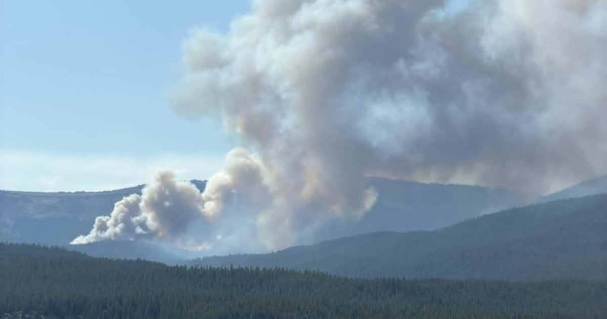
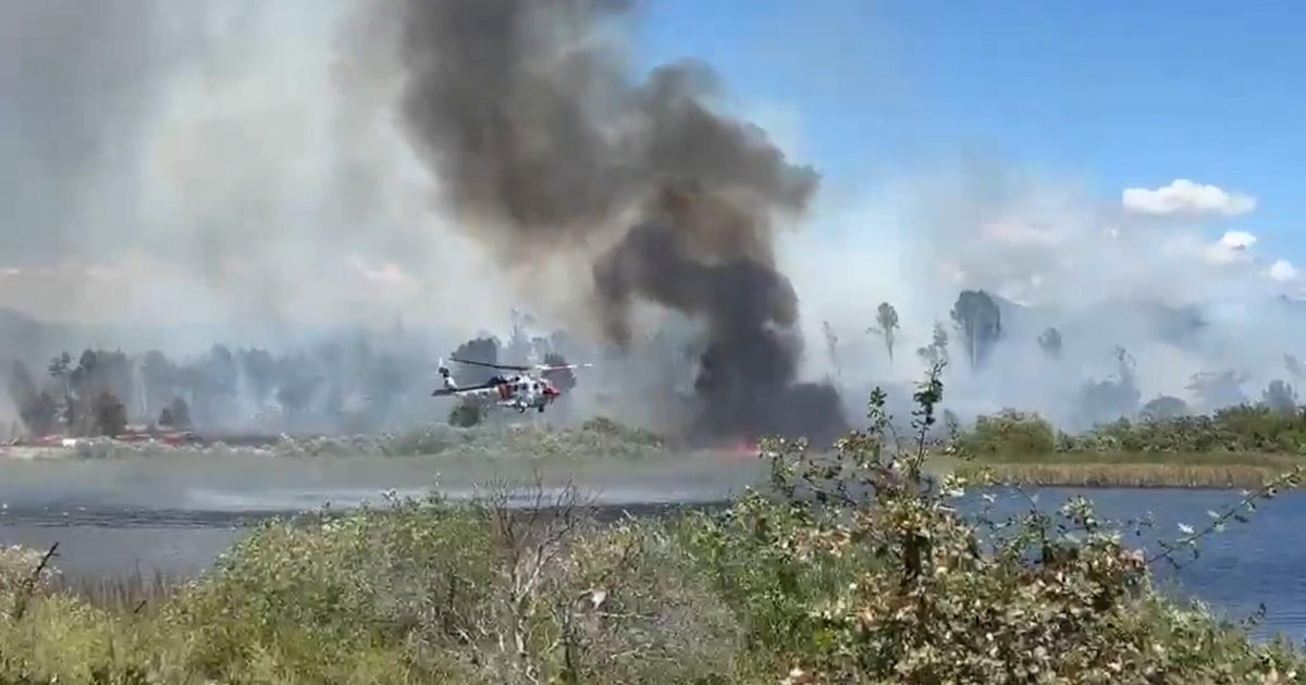
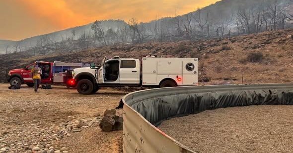
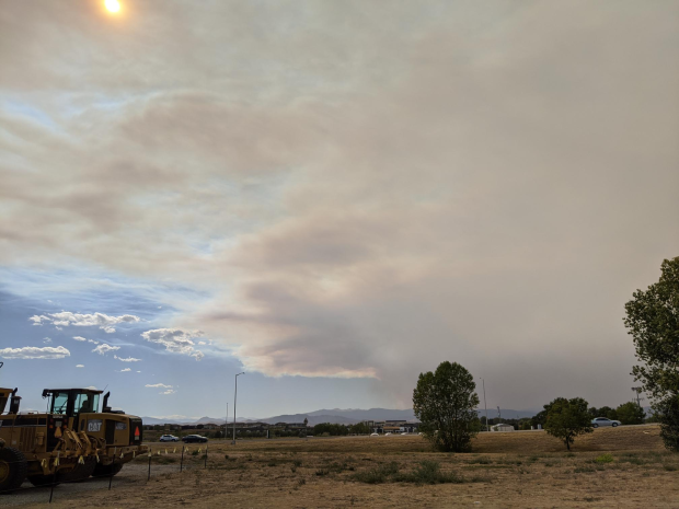
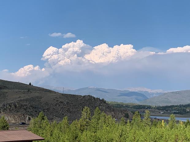
The fire exploded in size from Saturday to Sunday -- up to 34,289 acres from more than 24,400 acres. The fire remains at 5% containment.

cameron peak fire map spet 6 (inciweb)
Map of the Cameron Peak Fire on Sept. 6 (credit: Inciweb)

Dozens of residents reported thick, heavy smoke across northern Colorado as well as ash falling onto their property.

Rocky Mountain National Park officials closed Old Fall River and Trail Ridge Roads.

View CBS News In
CBS News App Open
Chrome Safari Continue
Be the first to know
Get browser notifications for breaking news, live events, and exclusive reporting.