Colorado Weather: Several chances of snow now through Monday
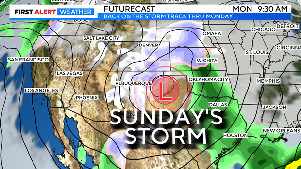
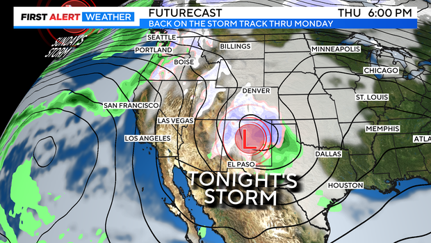
Our First Alert Weather team is watching 3 weather systems set to change Colorado's current pattern over the next several days. An Albuquerque Low, Friday cold front and a deep Alaskan low pressure area.
The Albuquerque low will hit southern parts of the state Thursday night into Friday. The bulk of the snow from this system will be over southern parts of the state. But, there may be enough moisture that makes it into the northern Front Range to produce light amounts of snow in the Denver metro area.
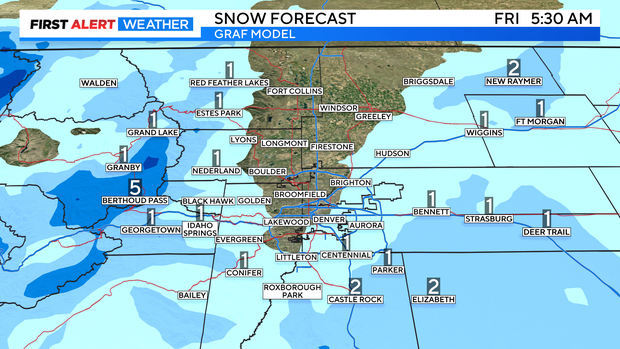
At this point it looks like amounts will be under an inch over most metro areas with slightly higher amounts over the southern and southwestern suburbs down to Monument Hill.
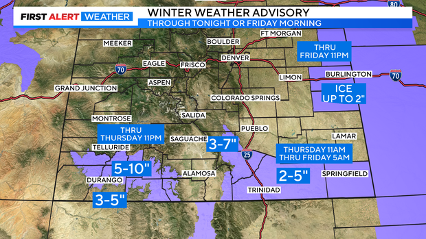
The southern mountains of the state may see up to 5 to 10 inches in the San Juan areas with 2 to 5 inches from parts of the Sangre De Cristo mountains out across the southeastern plains. Extreme eastern Colorado will see ice and up to 2 inches of snow.
Friday night into Saturday a frontal boundary in between bigger systems will swing through with a few inches of snow in the mountains and light snow showers on the Front Range Friday night.
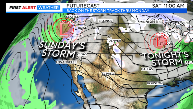
A bigger storm is expected to arrive on Sunday night into Monday. This one will be colder and may have significant accumulating snow when it arrives. It is too early to predict snow amounts but, the First Alert Weather team will be watching the change as we get closer.