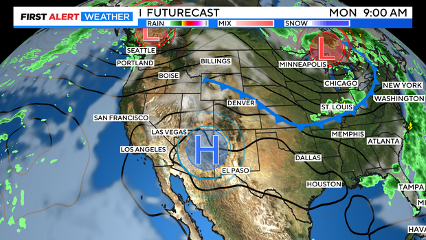
Weak cold front backs into Colorado, easing heat in Denver
A weak cold front is backing into northeastern Colorado for Friday. This should ease the heat over the northeastern corner of the state including the Denver Metro area and Front Range.
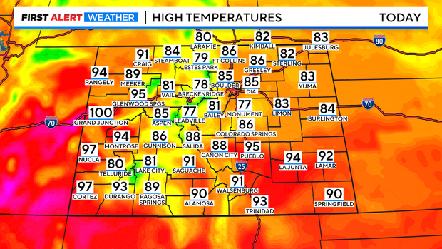
Temperatures for the northeastern quadrant of our state will be rising into the 80s. 90s will lock into the southeast with mainly upper 70s and 80s in the mountains. The big heat is still stuck on the Western Slope with 90s and 100s for afternoon highs.
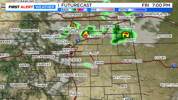
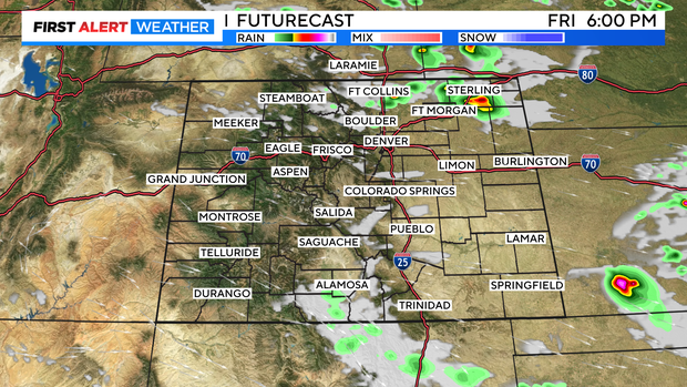
There is a chance for a few showers and thunderstorms for the Front Range out over the northeast. Storms in the Denver metro area are most likely to pop up after 4pm.
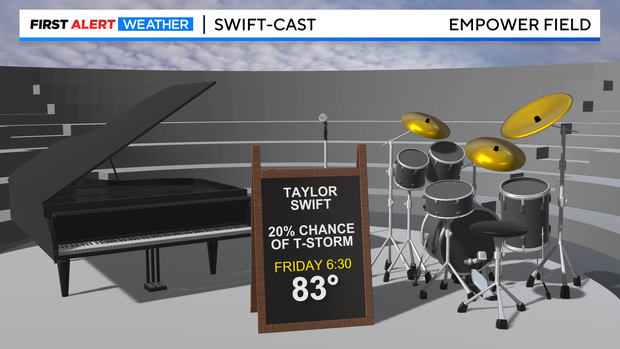
If you are going to the Taylor Swift concert at Mile High there is a 20% chance for passing thunderstorms with temps in the low 80s at 6:30 pm. Expect temps to cool into the 70s as Friday night goes on.
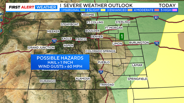
Some of the storms may reach severe levels from Fort Collins/Greeley out over the eastern plains. Large hail and damaging winds are the biggest threat.
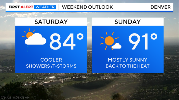
Over the Weekend Saturday may see a few showers and thunderstorms with dry and hot weather for Sunday.