Colorado Weather: A Toasty Tuesday With Heat, Fire Danger And Severe Storms
DENVER (CBS)- Lots of headlines in Colorado's Weather Center for Tuesday. Hot temperatures and wind will be ramping up the fire danger for more than half of the state and moisture streaming up from New Mexico will get thunderstorms going during the afternoon.
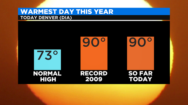
Denver had tied the record high for this date of 90 degrees set in 2009 and with more hours of heating it will be a race between the afternoon clouds and storms as to whether the record is broken.
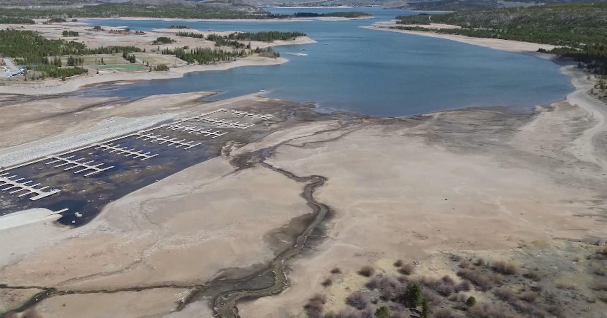
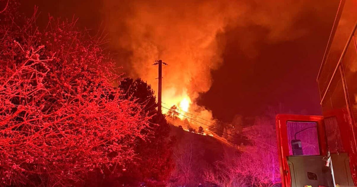
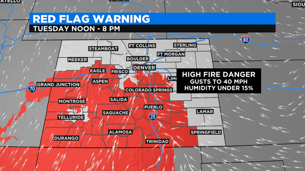
Temperatures across the lower elevations will rise into the 80s and 90s with 70s and 80s in some of the mountains. The heat along with humidity levels below 15 percent and strong gusty winds will boost the fire danger for more than half of the state for both Tuesday and Wednesday. This includes areas in and around the foothills of Jefferson, Douglas and Elbert Counties where a Red Flag Warning is in effect for the afternoon and evening.
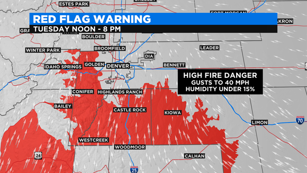
The Red Flag Warning extends into western and southern Colorado.
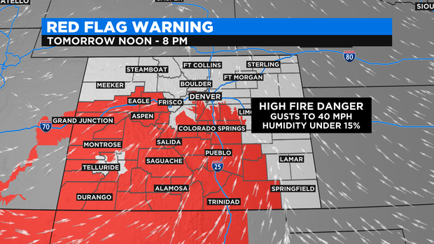
The Red Flag Warning will also be in place on Wednesday.
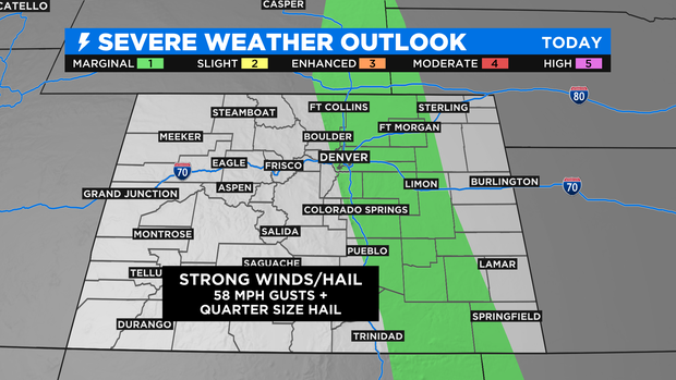
As high pressure pushes east of Colorado this will open the door for moisture to move north into the Rockies. This will help to get Tuesday T-storms going and some of those may be severe in and near the I-25 corridor from Fort Collins and Denver down into Pueblo and Trinidad.
A trough of low pressure should start to work in on Wednesday helping to cool temperatures for the second half of the week.
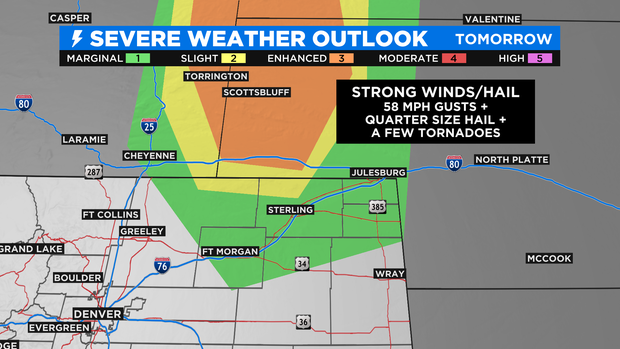
There is a chance for more severe storms on Wednesday in the northeastern corner of the state on Wednesday. With the added chance for a few tornadoes!