Colorado Weather: Enjoy Spring-like Temps Before Another First Alert Weather Day
By First Alert Meteorologist Callie Zanandrie
DENVER (CBS4) - A warming ridge of high pressure is moving into Colorado. We will have spring-like temperatures to welcome spring on Sunday.
Saturday temperatures will be in the upper 50s with plenty of sunshine in the metro area. We will see significant melting of the snow and ice from the storm earlier this week.
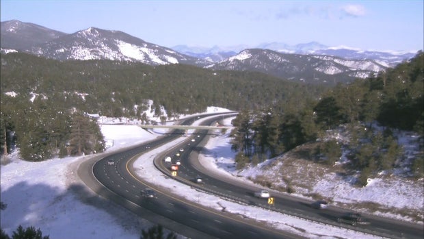
Sunday daytime high temperatures will be in the low 60s. By Sunday afternoon we will see increasing clouds and breezy conditions ahead of our next storm system. Snow will return to the mountains on Sunday afternoon.
In the Denver metro area, it's looking like we will see a few rain showers overnight Sunday into Monday, and as the temperature drops the rain will change over to snow by early Monday morning.
This storm will also bring much cooler weather to the Front Range on Monday and Tuesday. Because of the likelihood of snow and cold next week, the CBS4 Weather Team has issued a First Alert Weather Day for Monday.
There is still uncertainty regarding total precipitation, but right now, it looks like the Denver metro area will see 1-4 inches of snow. The heaviest snow looks to be in the southern foothills and the Palmer Divide.