Colorado's snowpack reaches 16th consecutive day at all-time low

Colorado's snowpack has now been stuck at an all-time low for 16 consecutive days.
We are 71 days from the median peak snowpack, and the outlook remains bleak. Over the next 10 days, only one very minor storm appears possible for the northern Front Range mountains. Otherwise, the forecast remains dry statewide.
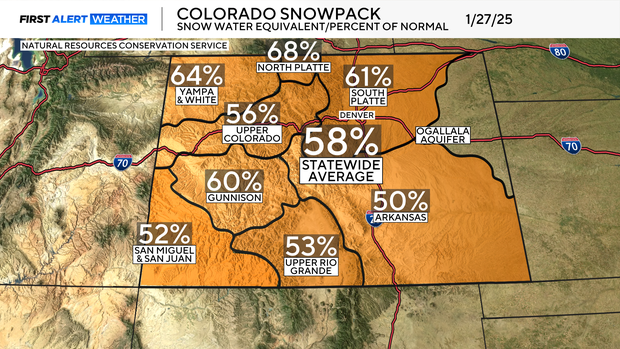
The statewide snowpack average is sitting at 58% of normal. The North Platte River Basin is doing the best at 68%, while the Arkansas River Basin is the worst at just 50% of average.
This streak is likely to continue, as the extended outlook shows little meaningful snow through the week of February. While snowpack will likely finish among the worst on record, there is still some optimism. March and April are historically Colorado's snowiest months, and there is still time to make up ground. While finishing below average remains likely, a noticeable late-season improvement is still possible.
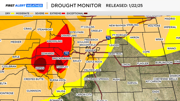
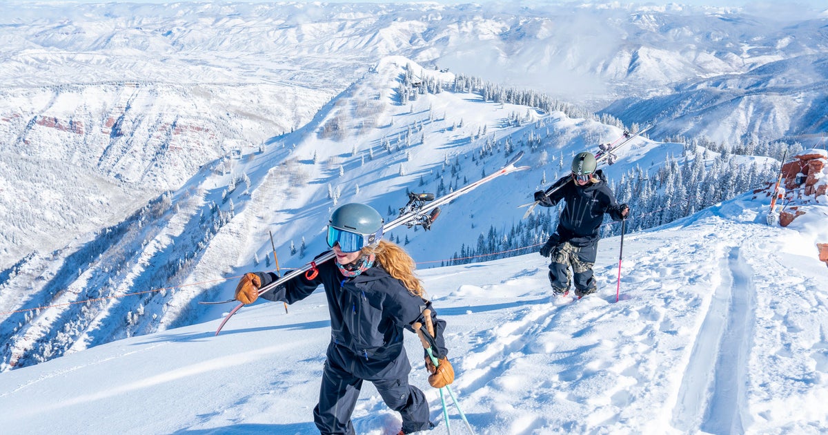
The greatest concern remains in the high country. Exceptional drought persists near Aspen and Vail Pass. Extreme drought conditions stretch from Grand Lake through Kremmling and Edwards, impacting a large portion of the I-70 corridor.
This is something to watch closely as spring approaches and wildfire season ramps up.