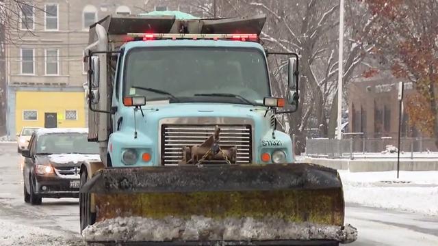
Road Crews, Airports Prepare For Daylong Snowstorm That Could Dump 10+ Inches
The National Weather Service has issued a winter storm warning, in effect from Thursday evening through Friday evening across most of northern Illinois.
Watch CBS News
The National Weather Service has issued a winter storm warning, in effect from Thursday evening through Friday evening across most of northern Illinois.
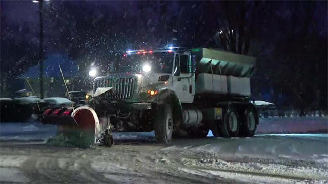
Heavy snow on Thursday and Friday could add 5 to 9 inches to what is already on the ground on Wednesday.

A Hazardous Weather Outlook was issued by the National Weather Service at 3:32 a.m., warning of an elevated snow risk through the morning commute.
Snowfall totals for the past 24 hours, according to the National Weather Service (latest readings at 7 a.m.).
The National Weather Service issued a Winter Weather Advisory for portions of north central and northeast Illinois, in effect from noon to midnight Tuesday, when three to six more inches of snow are expected to fall.
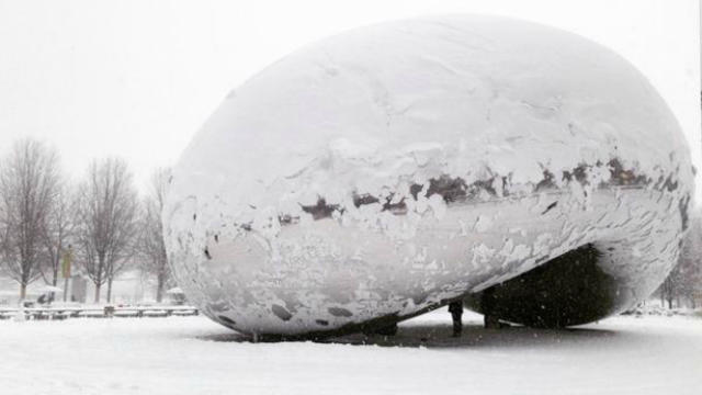
The Chicago-area has seen quite a bit less snow than average, so far this winter, but the coming days could change that.
Drivers have been urged to go slow as they head out Tuesday morning.
The Chicago area could see some minor flooding as the dense fog starts to lift through Monday morning.
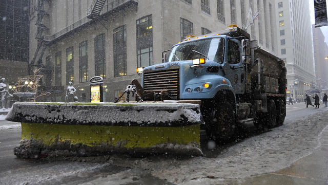
More than three inches of snow had fallen over the Chicago area by midnight Tuesday, according to the National Weather Service.
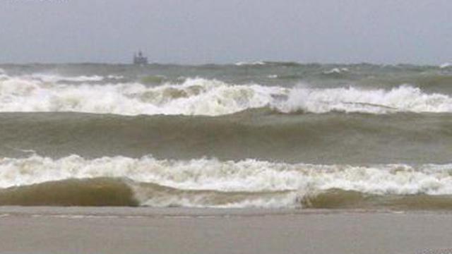
Dangerous conditions along Lake Shore Drive have led Chicago Park District staff to shut down the lakefront trail.

Just days after matching the longest cold snap on record, Chicago was flirting with historic warmth on Thursday, but the spring-like weather won't last the day.
A light dusting of snow began falling early Monday, with another round of snow showers expected before 10 a.m. followed by a chance of flurries until noon, according to the National Weather Service. Less than half an inch of snow is expected throughout the day.
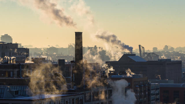
This bone-chilling stretch of extremely cold weather in Chicago could tie a record for the longest stretch of temperatures below 20 by the end of the week.

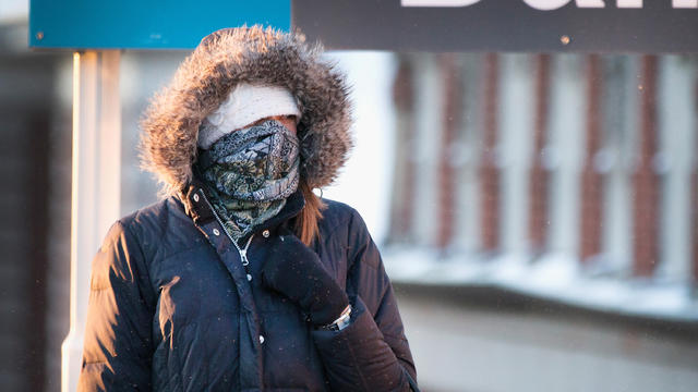
After the coldest New Year's Day in recorded history, the Chicago area is expected to remain in a deep freeze Tuesday with frigid temperatures, sub-zero wind chills and a chance for snowfall in the forecast.
Between 1 and 3 inches of snow is expected to accumulate, mainly after 2 p.m. Friday and continuing through midnight, according to the National Weather Service.
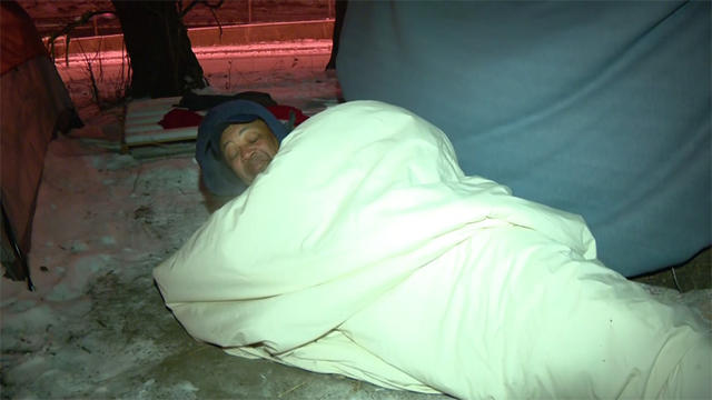
Community activist Andrew Holmes spent Tuesday night outside in below-zero temperatures, covered only in a blanket.
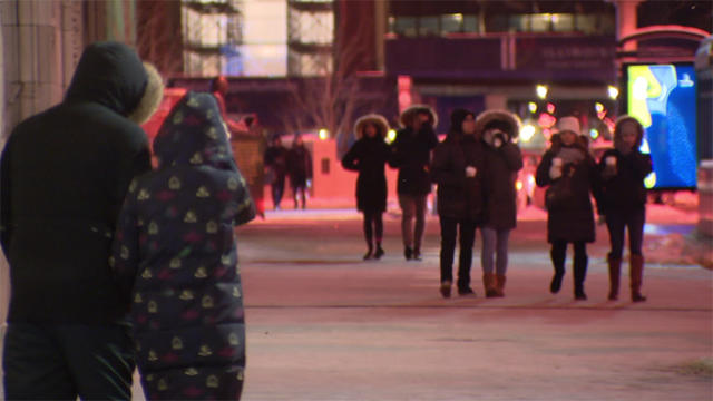
If you plan to head out to cash in on the big after-Christmas sales, you'll certainly want to pack on the layers, as bitterly cold temperatures have gripped the Chicago area.

The bitter cold that moved into the Chicago area on Christmas Day is expected to stick around into Tuesday, particularly in the far north suburbs.

Tuesday's high was expected to be only 8 degrees with wind chill values as low as 15 degrees below zero, according to the National Weather Service.
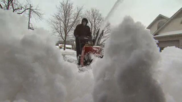
A narrow band of lake effect snow is expected to dissipate and move off to the east by the afternoon.

As if the big chill was not bad enough Tuesday morning, intense winds were creating problems for people across the Chicago area.

The Joint Polar Satellite System will give meteorologists key weather information about hurricanes, floods, blizzards, and other extreme conditions.

The temperature at O'Hare reached a low of 18 around 4 a.m., tying the lowest official Nov. 10 temperature recorded in Chicago in 1986.
The temperature at O'Hare, the city's official recording site, dipped to 32 degrees early Monday, according to the National Weather Service.