More Snow Friday Morning, But Spring Weather Returns Next Week
Spring just keeps hitting the snooze button on us.
Watch CBS News
Spring just keeps hitting the snooze button on us.

Snow-covered roads made for a very slick commute across the Chicago area Thursday morning, after 2 to 8 inches of snow fell in Chicagoland overnight. Lake-effect snow was still falling in some neighborhoods late Thursday morning.

Roads have been tough to negotiate, as wind has blown hard at times, and lake effect snow has been piling up.
Lake effect snow dropped more than 8 inches of snow on parts of the Chicago area overnight. With snow still falling in northwest Indiana, here are snowfall totals reported to the National Weather Service as of 10 a.m.:

The winter storm is the biggest to hit Chicago on New Year's Day since 1999. Some areas have seen more than a foot of snow since the storm began New Year's Eve.
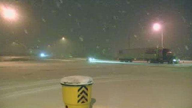
Roads could be a mess much of the day in parts of northwest Indiana on the eve of Thanksgiving, as lake effect snow could bring up to a foot of snow to some of the region.
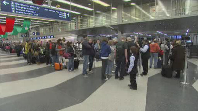
CBS 2's Derrick Blakely reports holiday passengers expecting turkey day travel troubles received a pleasant surprise as few O'Hare flights delayed or cancelled due to the northeast storm.

Driving across northern Indiana could become difficult for Thanksgiving Day travelers with up to a foot of lake-effect snow possible in areas near Lake Michigan.
The snow might be long over in Chicago, but parts of northwest Indiana have seen six or more inches of it on Tuesday, and could get a few more, thanks to lake effect snow.

A winter storm that buried much of central Illinois in heavy snow largely missed the Chicago area Sunday and early Monday. The storm prompted many schools and universities downstate to cancel classes, and police advised people not to drive in that part of the state unless it's an emergency.

A powerful lake-effect snow system is blasting the Chicago area, and it could dump as much as 18 inches of accumulation in some areas.

In case you've forgotten, it's February, and Mother Nature will be reminding you by dropping up to 6 inches of snow on the Chicago area on Friday.

Light flurries have tapered off for most of the Chicago area, but lake effect snow in northwest Indiana could bring a lot of snow to that region by Tuesday.

Most of Chicago saw only a few inches of snow on the ground today, but a short drive into Northwest Indiana provided a totally different picture.

The snow may be winding down for the immediate Chicago area, but if you live in parts of Northwest Indiana, you might end up with a foot and a half of snow piled up in your front yard.

The driving situation in northwest Indiana and southwest Michigan is improving. But there's still lots of snow to deal with and even more snow coming today in some areas.
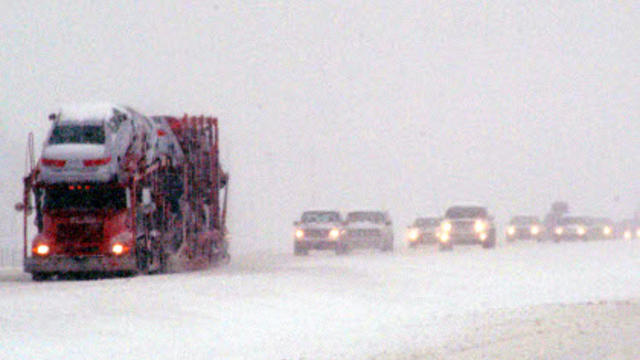
Snow was racing down Lake Michigan causing some whiteout conditions in Porter County, Ind.

The heavy snow showers that hit Chicago Saturday have left the area, but portions of northwest Indiana could see an additional eight inches of lake effect snow before the system completely passes Sunday afternoon.