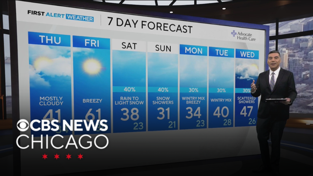
Clouds increase Wednesday night in Chicago
More cloud cover lingers on Thursday, as the short mild trend continues across Chicago with highs in the lower 40s.
Watch CBS News
More cloud cover lingers on Thursday, as the short mild trend continues across Chicago with highs in the lower 40s.
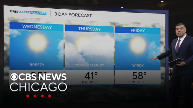
Warming temps the next few days, from 30s Wednesday to 40s Thursday, then upper 50s on Friday.
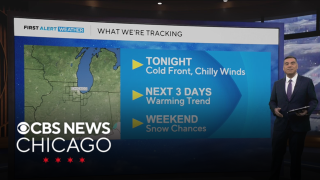
Chief Meteorologist Albert Ramon is tracking the latest, including highs in the mid-50s by Friday.
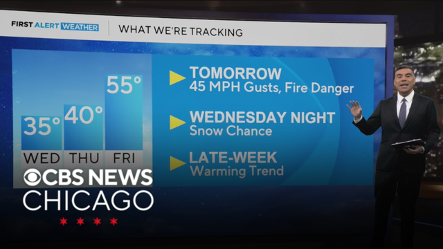
Southerly winds will pump in milder air on Tuesday with a high around 40 degrees.
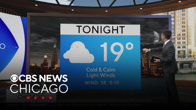
Meteorologist David Yeomans has your 11 a.m. First Alert Weather forecast for Monday, Feb. 23, 2026.
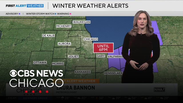
Meteorologist Laura Bannon has your 5 a.m. First Alert Weather forecast for Monday, Feb. 23, 2026.
The advisory will continue for these La Porte and Porter counties until noon on Monday.
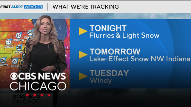
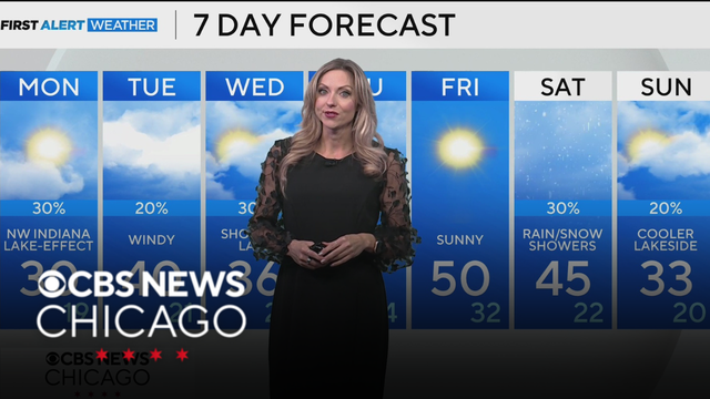
Lake-effect snow showers will favor Northwest Indiana Sunday night and Monday.
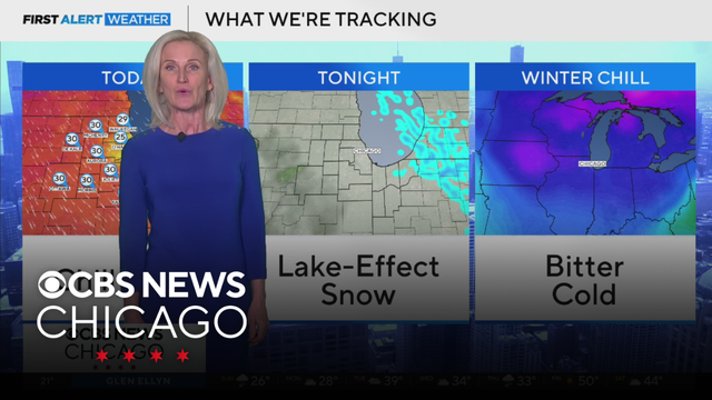
Meteorologist Mary Kay Kleist has your 6 a.m. First Alert Weather forecast for Sunday, Feb. 22, 2026.
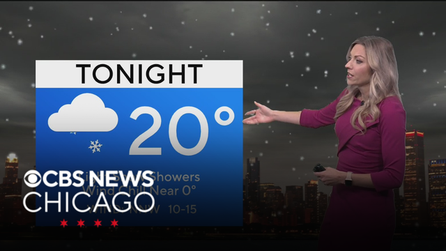
Meteorologist Kylee Miller is tracking snow and cold conditions.
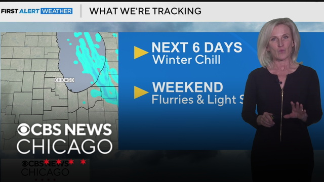
Meteorologist Mary Kay Kleist is tracking the latest in your First Alert Weather.
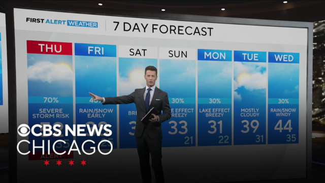
Large hail and damaging winds will be the greatest hazard with the strongest cells. Some rotation is possible along the warm front, so there is the chance for an isolated tornado.
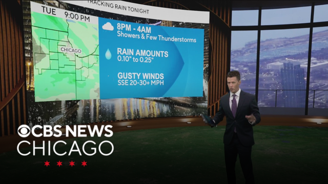
Increasing clouds with showers after dark as our next disturbance targets our area. Showers may linger early tomorrow morning in northwest Indiana.
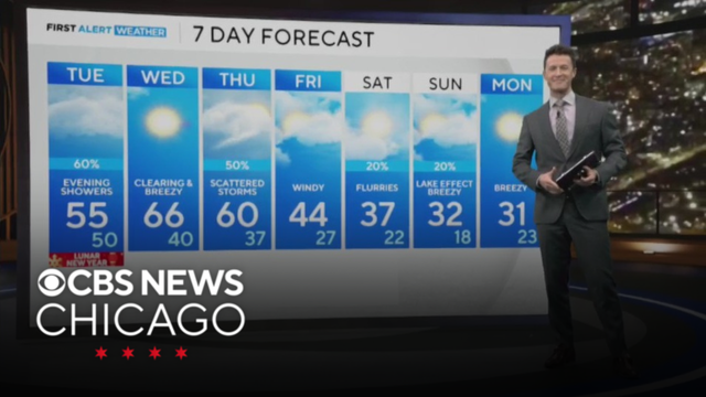
Tuesday will be a gloomy day with clouds and stronger wind gusts as mild temps continue.
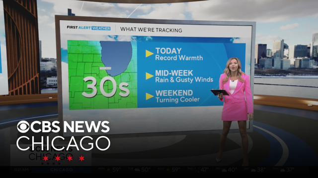
Meteorologist Kylee Miller has your 11 a.m. First Alert Weather forecast for Monday, Feb. 16, 2026.
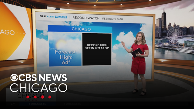
Meteorologist Laura Bannon has your 6 a.m. First Alert Weather forecast for Monday, Feb. 16, 2026.
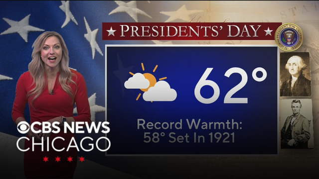
Monday will also see decreasing clouds with breezy winds with gusts near 30 mph at times.
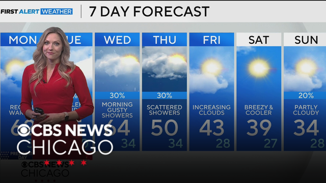
Chicago could break a record on Monday as forecast highs reach into the lower 60s away from the lake.
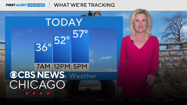
Meteorologist Mary Kay Kleist has your 7 a.m. First Alert Weather forecast for Sunday, Feb. 15, 2026.
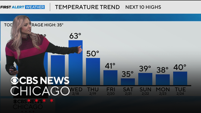
Bright and beautiful skies Sunday with highs approaching the upper 50s inland, and lower 50s near the lake.
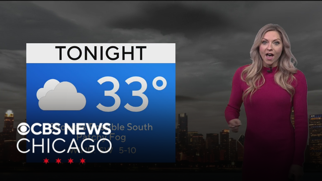
Clouds and fog will continue tonight as lows dip into the lower 30s.
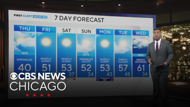
Chief Meteorologist Albert Ramon is tracking temperatures that will reach into the 60s.
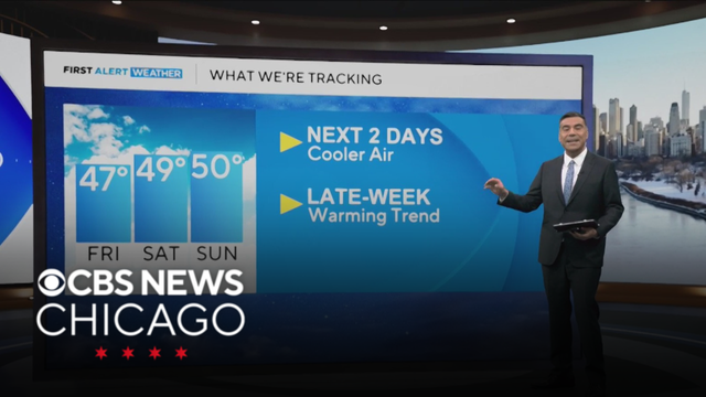
Temperatures will stay milder than normal for the next week, with the warmest stretch likely arriving early next week.
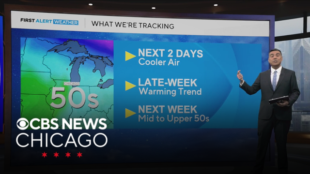
Cooler Wednesday with highs back in the upper 30s, which is still warmer than average.
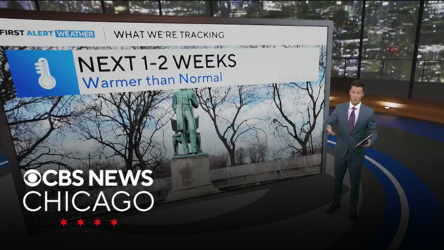
Another mild day with highs in the 40s on Tuesday and Wednesday. Mid-week sunshine is expected before our next chance of snow, which returns late on Thursday.