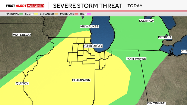
Chicago weather warmup with highs near 80s could spark severe thunderstorms Friday night


The warmest weather the Chicago area has seen so far this year will give way to a rainy Friday night with the possibility of severe thunderstorms.
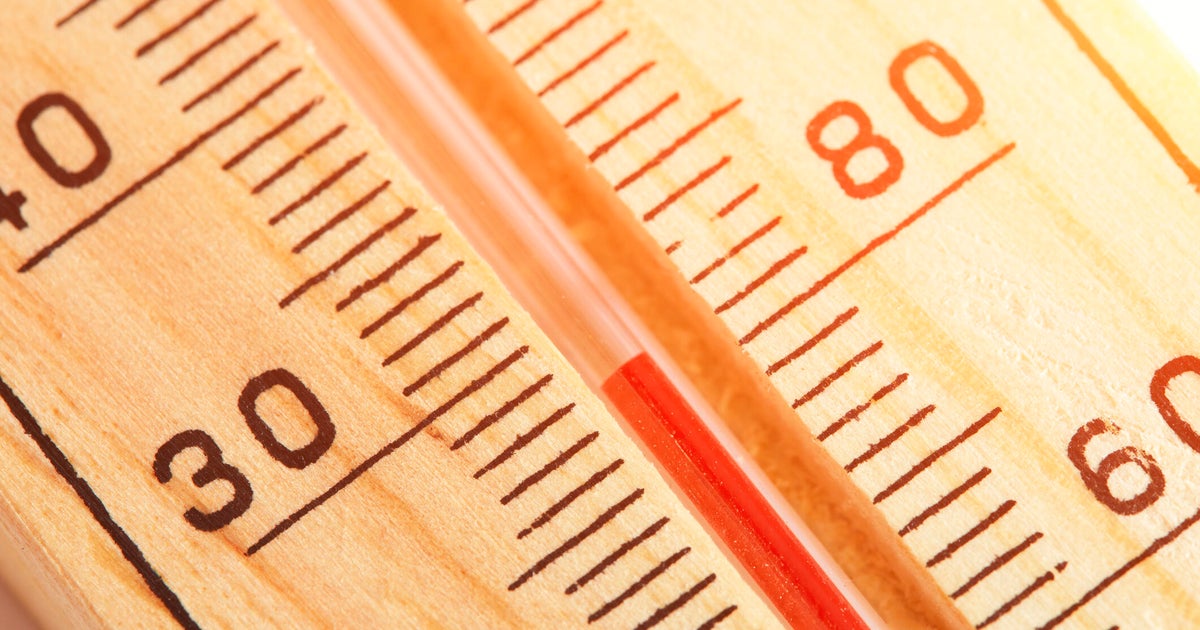
A powerful storm over the Rocky Mountains and its low-pressure system is feeding the warm, moist air that will bring Friday's high temperatures near 80 degrees.
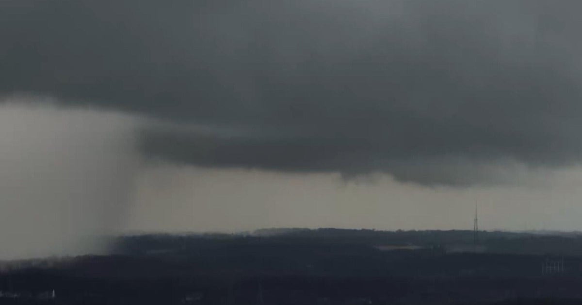
But later in the day a cold front will move into the area, plowing into that warm, moist air mass and creating the conditions for potentially severe storms.
During the day we will see a mix of sun and clouds and the weather will remain mostly dry, but rain will move in during the evening hours.
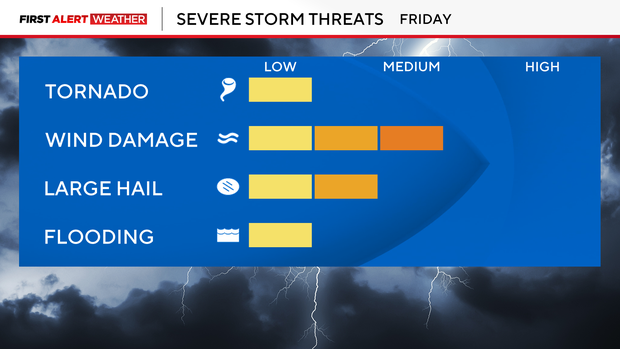
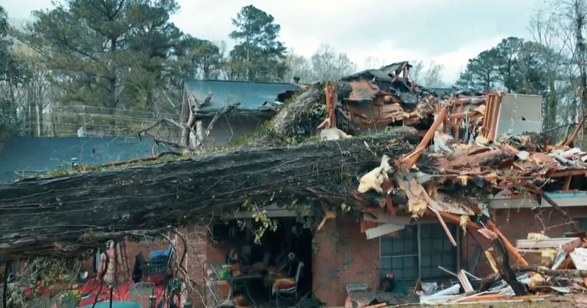
The most likely time for scattered severe storms is between 6 p.m. and 11 p.m., with the highest possibility of supercells developing between 8 p.m. and 10 p.m.
The biggest threats from these storms is large hail, possibly up to the size of eggs, and gusting winds that could top 60 miles per hour.
The severe weather is not guaranteed; some models show no strong storms developing.
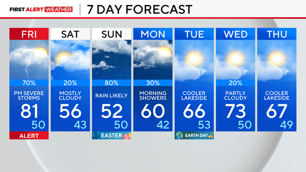
Storms end overnight and temperatures will drop 30 degrees into a more seasonably pleasant weekend.
Colder winds will keep the highs in the 50s on Saturday and Easter Sunday. Some showers are possible Saturday, mainly south of Chicago, but the rain chance is more widespread on Easter, mainly late in the day.
Next week will start off pleasant and dry before daily storm chances return Wednesday. Temperatures will be cooler by the lake.