Chicago First Alert Weather: Temps To Drop Drastically
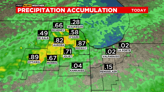
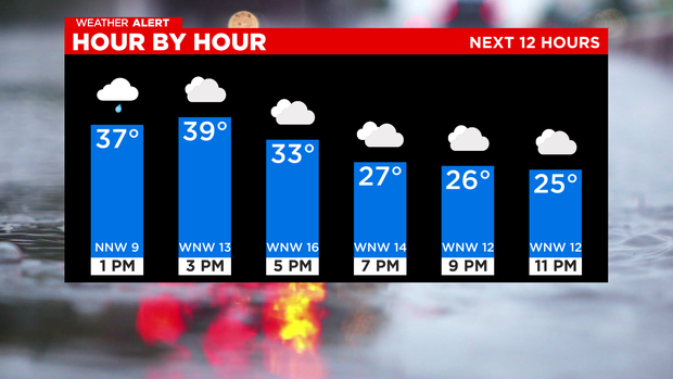
CHICAGO (CBS) -- Steady rain has moved away leaving spotty drizzle.
According to CBS 2 meteorologist Mary Kay Kleist, in places where temperatures drop to the freezing mark, there could have freezing drizzle. This is especially for areas along and north of I-88.
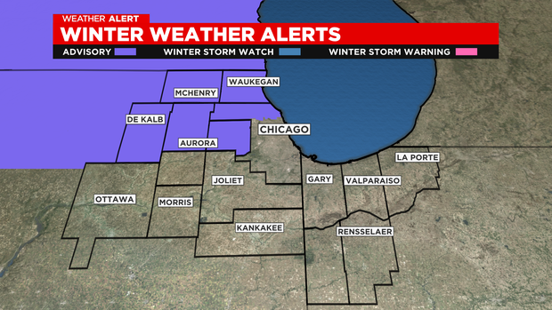
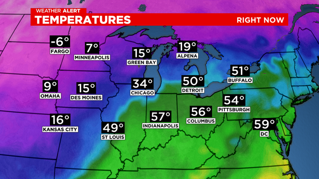
The cold front and low pressure center are tracking farther south than forecast, allowing our northwest counties to have spotty freezing drizzle. Once the system moves away this evening, cold air rushes into our area.
This cold air mass will be in place when the next disturbance rolls in Thursday afternoon. Right now, it looks like the best snow accumulation would be Thursday night, with snow ending by daybreak Friday. Snow amounts look minimal with this system, one to four inches.
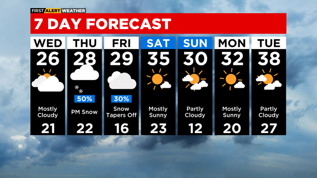
TONIGHT: Mostly cloudy. Cold. Low 13. Wind chills to -1.
WEDNESDAY: Mostly cloudy. High 26. Wind chills in the single digits and teens all day.
THURSDAY: Afternoon show. High 28.