Storms bring heavy rain, flooded streets and threat of brief tornado
By Terry Eliasen, WBZ-TV Meteorologist, Executive Weather Producer
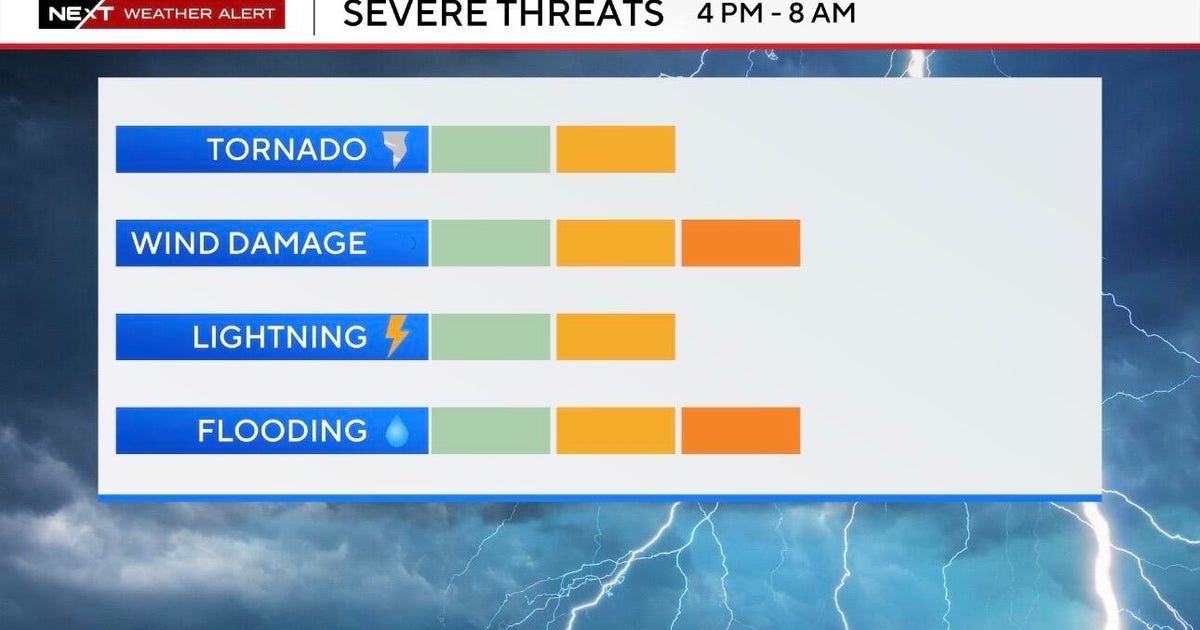
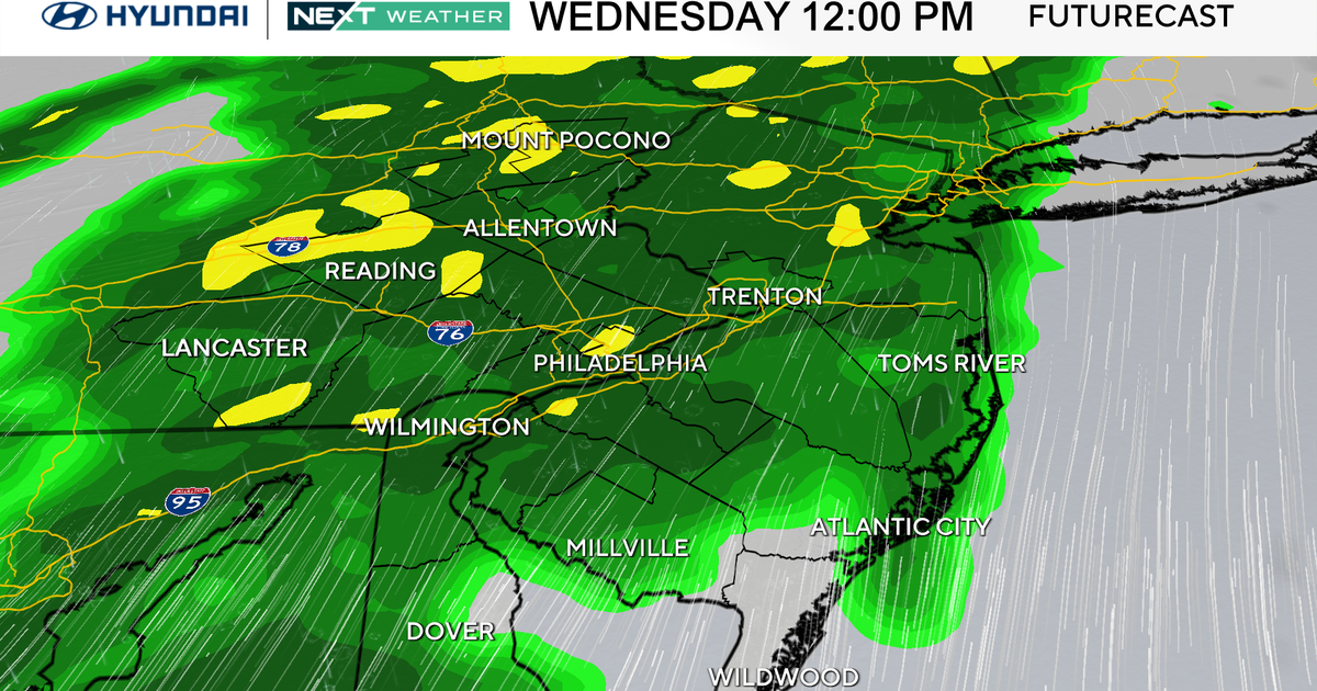
BOSTON - The WBZ Weather Team has issued a NEXT Weather Alert for heavy rain and severe storms Tuesday.
In addition, the Storms Prediction Center has nearly all of southern New England in a "marginal" risk for severe weather.
It is a bit unusual to be talking about a severe weather event in the morning hours. Typically, we need to wait for the prime heating of the day to occur. Most of our storms tend to pass through in the late afternoon and evening.
Check: Interactive Weather Radar
For Tuesday, however, it appears the best chance and highest threat of showers and storms will be before noon.
The main concern from any storms that form will be torrential, flooding rainfall. There is a lower threat of some damaging winds as well.
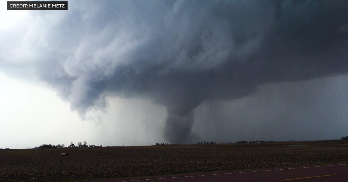
And, once again, we cannot rule out an isolated, spin-up tornado on Tuesday morning. The SPC has placed most of our area in a 2% tornado risk given the atmospheric setup.
A tornado warning was issued briefly for parts of Middlesex and Worcester counties around 9 a.m. but there have been no reports of any damage or injuries.
Stay tuned to updated forecasts on WBZ-TV, WBZ.com and CBS News Boston through Tuesday morning.
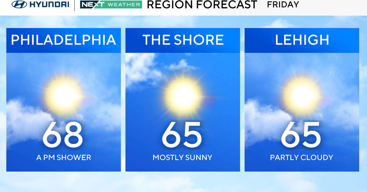
Things will clear out nicely on Wednesday! We expect a mainly sunny day with much lower humidity and a bit of a breeze. Same deal Thursday and Friday - lots of sunshine, highs in the mid-80s and a very low risk of any showers.

