Wednesday Begins With Rain, May End With Snow
BALTIMORE (WJZ) — The busiest travel day of the year is seeing the gamut of winter weather.
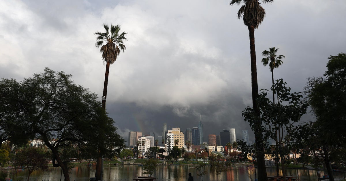
Meteorologist Tim Williams reports the day will begin with heavy rain and may end with snow showers creating conditions for messy travel.
"It will be windy and colder," Williams said. "Afternoon rain mixes with snow before ending. Watch for icy roads late."
Here's a breakdown:
Timeline:
There is rain in our area right now.
The rain will taper off to showers. Wednesday evening, parts of the region may see flurries.
Accumulations & Temperatures:
Counting Tuesday's rain, we could see as much as 2-4" of rainfall by Wednesday afternoon.
As the storm system begins to depart Wednesday evening, some colder air will cause our temperatures to fall sharply after sunset. Most will be falling through the 30s during the evening and even into the 20s by late Wednesday night.
Rain and show showers will taper off by Wednesday night.
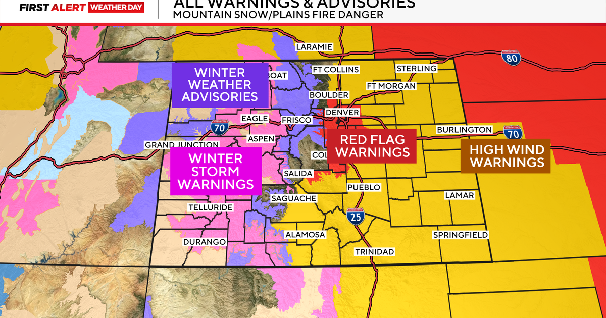
Meanwhile, Maryland State Police are declaring a snow emergency in far western Maryland due to deteriorating driving conditions.
Parking is prohibited on roads designated as snow emergency routes in Garrett County.
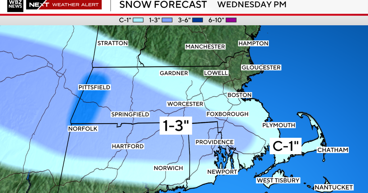
The National Weather Service says treacherous travel conditions are expected in the region. Forecasts call for high winds and snow accumulation of up to 6 inches by Thursday morning.
The Weather Service says up to an inch of snow could fall across central and southern Maryland, including the I-95 corridor. But the snow isn't expected to stick to road surfaces.
Future:
Thanksgiving still looks fairly sunny, but also colder with a brisk wind and temps no higher than the 30s.
Check: Current Conditions| Radar & Maps
Other Local News: