Comfortable weather through Friday in Maryland; warmer weather expected this weekend
Baltimore's stretch of seasonable weather continues, with low humidity and mild afternoons holding steady through Friday.
High pressure wedged to the north has kept skies mainly clear and air crisp — the kind of fall setup that makes the city feel refreshingly comfortable.
Expect another clear night across central Maryland. Skies will be mostly clear, with just a few thin, high clouds drifting overhead. Overnight lows will dip into the 50s around the metro, cool enough for an open-window night for many neighborhoods.
Pleasant weather Friday in Maryland
Friday keeps the pleasant pattern going. High pressure over Pennsylvania and New England will gradually slide offshore, which means winds will turn more from the southeast during the day.
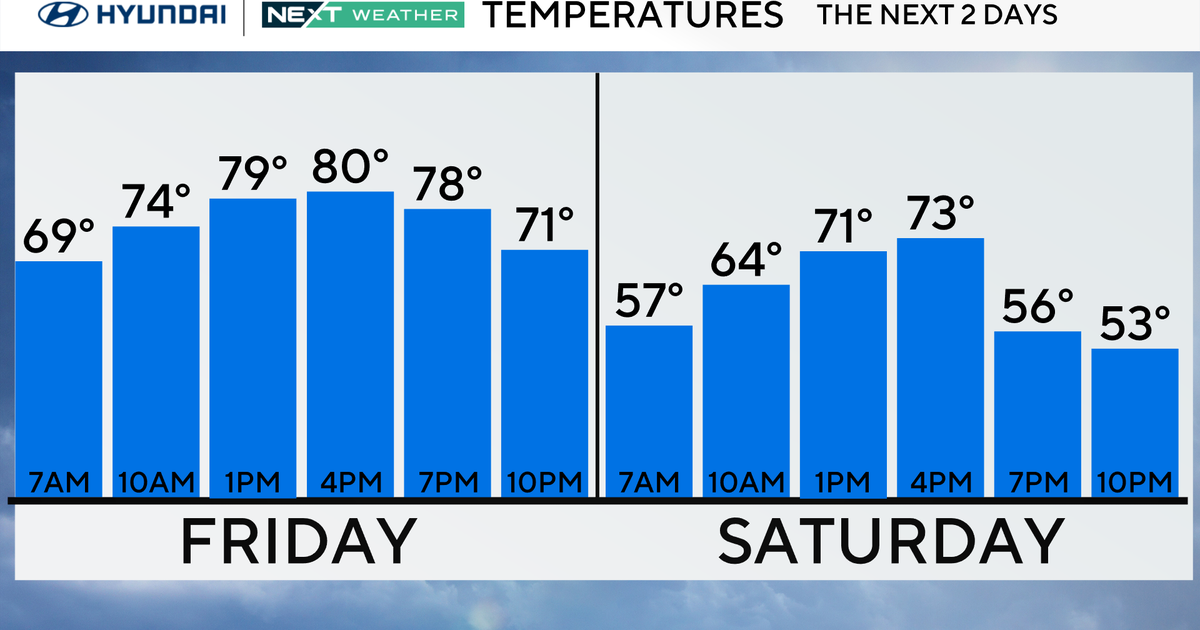
That could bring in a few scattered, puffy clouds, but nothing that threatens rain. Temperatures will stay seasonable, landing in the low to mid-70s around Baltimore with comfortable humidity.
Weekend Warm-up for Baltimore area
By Saturday, that high pressure slips farther out into the Atlantic, allowing warmer air to move back in.
Sunshine dominates, and temperatures climb into the mid to upper 70s across Baltimore and the suburbs. Sunday will feel more like a return to late summer, with highs reaching the upper 70s to low 80s. Humidity will start creeping up a touch, though it won't feel oppressive.
Next week's weather forecast
Looking into next week, high pressure stays offshore and keeps the region dry through at least Tuesday. That sets up a continued run of warm afternoons — upper 70s to low 80s — with overnight lows trending milder, climbing from the 50s Sunday night into the 60s by Tuesday night.
Humidity will become more noticeable early next week, with dew points rising back into the low to mid-60s. By midweek, a cold front tied to a storm system over the Great Lakes will push closer. This will bring the next legitimate chance for widespread rain across Maryland late Tuesday into Wednesday. Forecast models remain in good agreement on that timing, and any rain will be welcome news given ongoing drought concerns in the region.
Behind the front, Canadian high pressure looks set to return, dropping humidity and bringing another stretch of dry, crisp air to wrap up next week.

