WEATHER BLOG: Fall-Like Monday
As high pressure builds into the Eastern Region, dry weather will be a 'mainstay' for the balance of this week --- and it'll be turning warmer over the next few days.
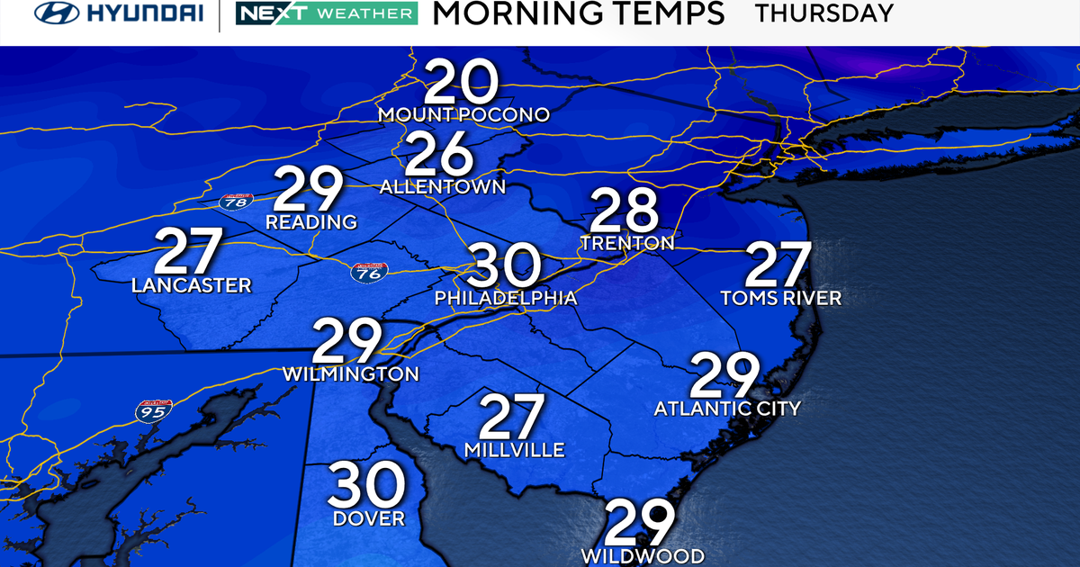
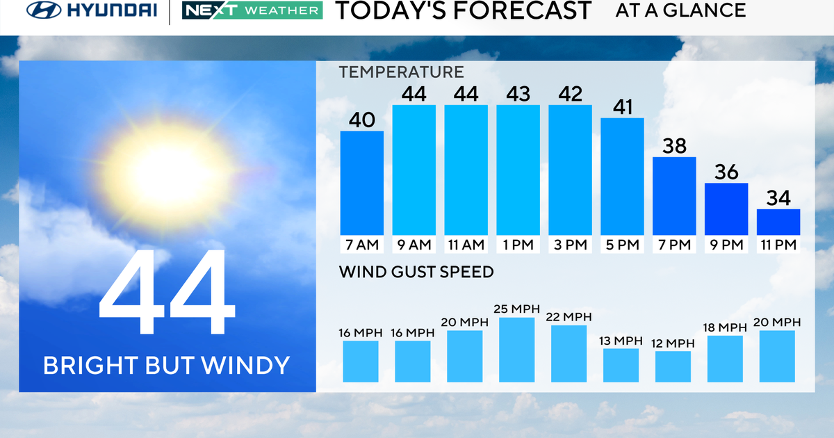
Because of our cool start this morning (while it may not apply to the larger cites, the lowest readings on some thermometers since early in June will be realized in some outlying areas), most temperatures this afternoon should peak in the upper 70s and lower 80s.
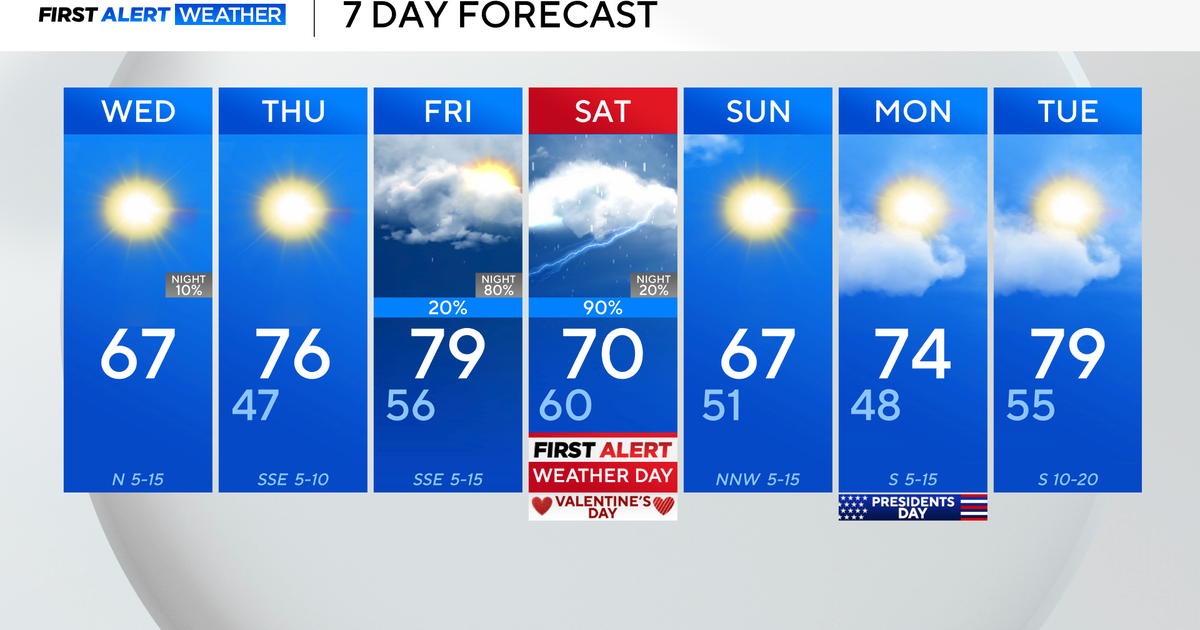
However, it will become a little warmer tomorrow, and then most locations will reach the mid 80s on both Wednesday and Thursday.
So, the pattern will be pretty straightforward for quite a while, with one potential pitfall being the development of some late-night and early-morning fog, especially in some of the river valleys.
If that fog were to persist long enough, it could impact maximum temperatures, but only over a small fraction of the area.
