Cooler, cloudier stretch ahead for Maryland
A cold front swept through Maryland early Monday, leaving behind cooler air, thick clouds and a steady northeasterly breeze that will keep conditions feeling more like late September than mid-August.
Tonight, temperatures drop into the 60s, with patchy fog and mist possible under a low cloud deck.
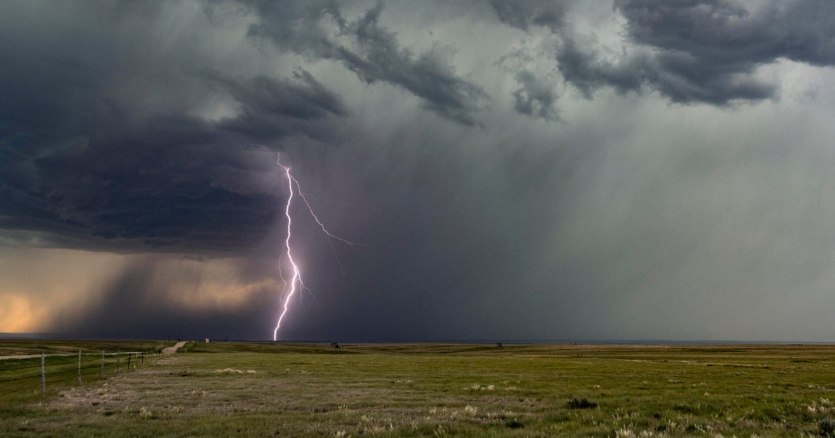
On Tuesday, more scattered showers could pop up, especially during the afternoon, but it won't be an all-day washout. Highs will once again stay below normal, topping out in the 70s.
By midweek, all eyes turn to Hurricane Erin in the Atlantic. The storm is forecast to pass well offshore, but Maryland could still feel some indirect effects. Winds may pick up over the Chesapeake Bay and coastal waters, and dangerous surf will build along the beaches at Ocean City.
Waves there are forecast to run 3 to 5 feet Tuesday, building to 4 to 6 feet by Wednesday evening. By Thursday, surf heights climb sharply to 6 to 10 feet in the morning and as high as 8 to 10 feet in the afternoon. Rip currents will be a significant concern for anyone heading to the coast.
The latter half of the week looks fairly quiet as Erin moves farther out to sea. Highs stay in the low to mid-80s Thursday and Friday with only isolated showers possible, mainly in western Maryland.
By the weekend, a stronger system approaching from the Great Lakes could stir up another round of showers and thunderstorms Saturday and Sunday. Some of those storms may pack a punch if humidity levels climb high enough.