Winter storm could bring widespread snow to Atlanta, north Georgia by Saturday

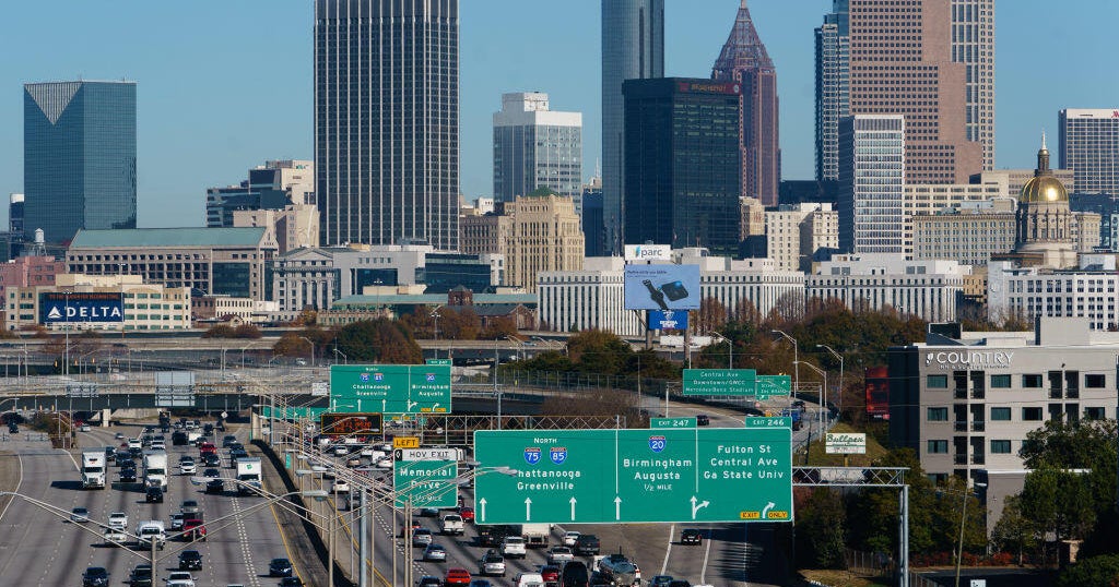
Another round of winter weather is set to impact much of north Georgia this weekend, bringing snow, strong winds, and hazardous travel conditions, including in the Atlanta metro area.
CBS meteorologist Troy Bridges says snow will develop from north to south Saturday morning through Saturday evening, with the heaviest totals expected in northeast and north-central Georgia. Highs will remain in the upper 20s Saturday, keeping snow on the ground throughout the day, while Sunday temperatures may briefly rise into the mid-30s before a cold night raises concerns about refreezing and icy roads.
Snowfall amounts will vary by location. Carrollton could see between a half-inch and 1 inch of snow. Rome and Dalton are forecast to receive 1 to 2 inches. Higher elevations will see the greatest impact, with 3 to 5 inches possible in Blairsville and Athens.
Georgia under State of Emergency
Governor Brian P. Kemp declared a statewide State of Emergency Friday ahead of this weekend's winter storm. The governor has also directed the Georgia Emergency Management and Homeland Security Agency to activate the State Operations Center, beginning at noon on Friday. The current State of Emergency will run for a week through Feb. 6.
"While Mother Nature may not be giving us a break with these back-to-back storms, the good news is we don't take any days off when it comes to keeping Georgia communities prepared and safe," Governor Brian Kemp said in a statement. "Along with our state partners, we have been monitoring this new winter storm well ahead of its arrival and preparing for whatever it may bring. While the weather event will mostly impact north and east Georgia, extending all the way to the coast, I've declared a statewide State of Emergency so we can more easily move resources to the areas expecting impact and stage those assets ahead of the storm."
"As this winter weather moves into Georgia, we encourage residents to stay home if possible before and during the storm," said GEMA/HS Director Josh Lamb. "Fewer vehicles on the roads give GDOT crews the space they need to treat roadways safely and efficiently, helping keep everyone safer this weekend."
Winter Storm Warning and Winter Weather Advisories
The National Weather Service has issued Winter Storm Warnings for multiple areas across the state: North Georgia Mountains (Fannin, Union, Towns, Dawson, Lumpkin, White counties), where 4–6 inches is possible, and winds gusting up to 35 mph. Cities include Dawsonville, Dahlonega, Blairsville, Hiawassee, and Cleveland.
Murray, Gilmer, and Pickens counties are also under winter storm warnings with 1–3 inches expected; winds up to 35 mph. Cities include Jasper, Ellijay, and Chatsworth.
Central/North-central Georgia (Cherokee, Cobb, North Fulton, South Fulton, DeKalb, Rockdale, Newton, Clayton, Henry, Butts, Jasper, Jones, Wilkinson) – Up to 2 inches possible, with locally higher totals; winds gusting as high as 35 mph. Cities include Atlanta, Marietta, Conyers, Stockbridge, Jackson, Covington, and Decatur.
Extreme Cold Watch in effect
The National Weather Service has also issued an Extreme Cold Watch for all of Georgia from Saturday evening through early Sunday afternoon. Wind chill values, or "feels-like" temperatures, are expected to drop to 5 degrees or below.
Projected snowfall totals
Forecasters note that snow totals will vary significantly by location. Updated projections from the National Weather Service show:
Blairsville: 4–6 inches
Gainesville: 3–5 inches
Athens: 3–5 inches
Washington: 2–5 inches
Madison: 2–4 inches
Rome: 0.5–2 inch
Dalton: 0.5–2 inches
Jasper: 1–3 inches
Atlanta: 0.5–2 inch
Carrollton: Trace–1 inch
Griffin: Trace–1 inch
Greenville: 4–6 inches
Union: 5–8 inches
Sandersville: 1–3 inches
Macon: Trace–1 inch
Dublin: Trace–1 inch
Statesboro: 0–2 inches
Savannah: 0.5–1 inch
Vidalia: Trace–1 inch
Augusta: 2–5 inches
Highest snow totals are expected in north and northeast Georgia, especially the mountains and areas east of Atlanta. Metro Atlanta sits right on the cutoff zone, where a coating to about an inch is possible. Snow amounts drop off quickly south of I-20, with only light accumulations or flurries expected.
Some melting may occur on Sunday as temperatures climb into the mid-30s, but conditions could quickly deteriorate again. Temperatures are expected to plunge Sunday night into Monday morning, raising concerns about melting snow refreezing on roads and creating icy travel conditions. Officials warn that roads, especially bridges and overpasses, could become slick and hazardous, with travel conditions ranging from very difficult to potentially impossible late Saturday into early Sunday.
Residents are urged to monitor updates as conditions evolve. Stay tuned to CBS News Atlanta and the Next Weather team for the latest forecasts and alerts.