The Rain Then the Wind
It wasn't till the afternoon hours till the clouds gave up their claim to our skies. A strong south wind pounced on those cool morning temperatures; we quickly rose to the low 70's with the glimpse of sun. A nice day for shoppers all-in-all; sure there was fog around this morning but not as dense as the morning before. Really the only problems in weather today was holding on to your shopping bags when crossing the parking lot. Gusts have hit around 25mph over the last hour.
RAIN ON THE WAY
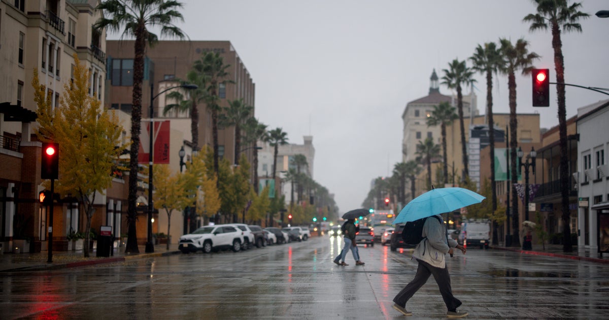
We've spent the day eyeing the long band of rain and storms out in west Texas, in the know of their approach to our lands tonight. Our western edge will be first to gain water for the reservoirs;Graham, Breckenridge, Eastland should get their rain before midnight. Through the overnight the rain moves into the metro. Most of this will be modest rain, we are not expecting any severe weather. The clouds, brisk south wind and rain all team up to keep temperatures in the low 60's all night. As much as .25" to .50" of much-needed rain is forecasted, almost all of it falling before 8am tomorrow.
The rain will end sharply as the winds take a dramatic turn to the northwest by mid-morning in metro. As the rain will be last to leave the southeast portion of our area, the daytime heating will get some storms going by late morning east Dallas. Again, we are not expecting severe weather but isolated storms will produce some heavy rain and lightning. The rain will be out of all of north Texas by late afternoon. The area of green shows the storms southeast of the metroplex tomorrow.
CAUTION ON THE WIND
When the winds turn to the northwest you are going to notice. Winds will immediately pick up to the 20-25mph range, by afternoon gusts will reach around 40mph. It is likely that the National Weather Service will issue a Wind Advisory for tomorrow. The sun breaks out but it won't be able to counter this cold air invasion. Remember, we start Saturday morning in the low 60's. By afternoon it'll be in the mid-50's teamed with a cutting wind. We go from rain coats to winter coats as we get to the lunch hour.
CLOSE TO FREEZING AM, COLD DAYS AHEAD
Lows in the metro will drop into the low-30's by Sunday morning with clear skies. Winds are not going to die down much, they'll stay out of the northwest at 10-15mph. So Sunday morning is going to be very chilly with that wind. All places save for the urban centers have experienced a freeze already this season yet DFW has yet to hit the freezing mark. It'll get close both Sunday morning and Monday morning. Highs on Sunday will stay in the 50's all day along with a steady cold wind at 10-15mph. Highs on Monday should nudge into the low 60's but another shot of cold air arrives that evening. Highs on Tuesday are again only in the mid-50's with breezy conditions. Such is the story the next week, a dry cold front comes through every other day. Ahead of it we'll hit the 60's (Thursday, the first day of December), behind it we'll be in the 50's for a couple of days (Friday, Saturday).


