Heat advisories extended for Bay Area inland locations as hot weather to last into weekend
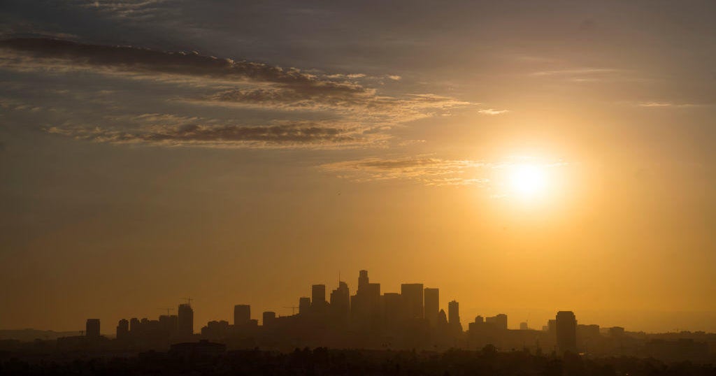
Large portions of the Bay Area and the Central Coast were under a heat advisory Thursday morning, which has been extended for what could be the hottest days of the year.
The National Weather Service said a heat advisory took effect at 10 a.m. for inland portions of the East Bay and South Bay, as well as the North Bay interior mountains. The advisory was extended through Saturday after forecasters originally said the heat wave would peak on Friday.
In its daily forecast discussion, the Weather Service said Thursday would be the hottest day for coastal and bayshore areas with above-normal temperatures in the 70s and 80s, respectively. However, away from the coast, temperatures will be in the 90s to the lower 100s on Thursday, with some records for the day possibly falling.
KPIX First Alert Weather: Current conditions, alerts, maps for your area
While coastal areas should begin to see some relief late Thursday afternoon as onshore wind conditions start to prevail, interior locations will remain in the grip of a heat dome emanating from the Four Corners area of the Southwest U.S. through Saturday, with Friday being the hottest day of this round of heat, the Weather Service said.
Further south in the Central Coast area, interior portions of Monterey and San Benito Counties are also under the heat advisory, while areas of the San Joaquin Valley will be under an extreme heat warning beginning at 11 a.m. Friday through 8 a.m. Sunday. The Weather Service said dangerously hot conditions are expected in parts of the Central Valley with temperatures reaching 105, along with warm overnight lows in the mid-70s to lower 80s.
In addition to the high temperatures, forecast models show clouds are moving in from the south as monsoonal moisture reaches the Bay Area and Central Coast, the Weather Service said. While the models show enough moisture and unstable air to support storms, forecasters say there's no strong trigger to set them off, meaning the chance of thunderstorms is low but not zero.
If any storms do form, they're more likely to bring lightning than rain, raising the risk of dry thunderstorms, with the best window for possible storm activity being Friday and Saturday, especially over the Central Coast, forecasters said.
