Winter Weather: Storm Brings Over 6" Of Snow To Pittsburgh Area
PITTSBURGH (KDKA) -- At the time I am writing this, snow is just now picking back up after the dry slot that we had talked about over the past couple of days moved in.
WEATHER LINKS
Current Conditions | School Delays & Closings | Local Radar | Weather App | Photos
It's easy to say that this is the 'half-way point' of this event but that is only partially true. As we are now on the backside of this system, temperatures are now dropping.
This means we will start to see a lighter, fluffier snow coming down from here on out.
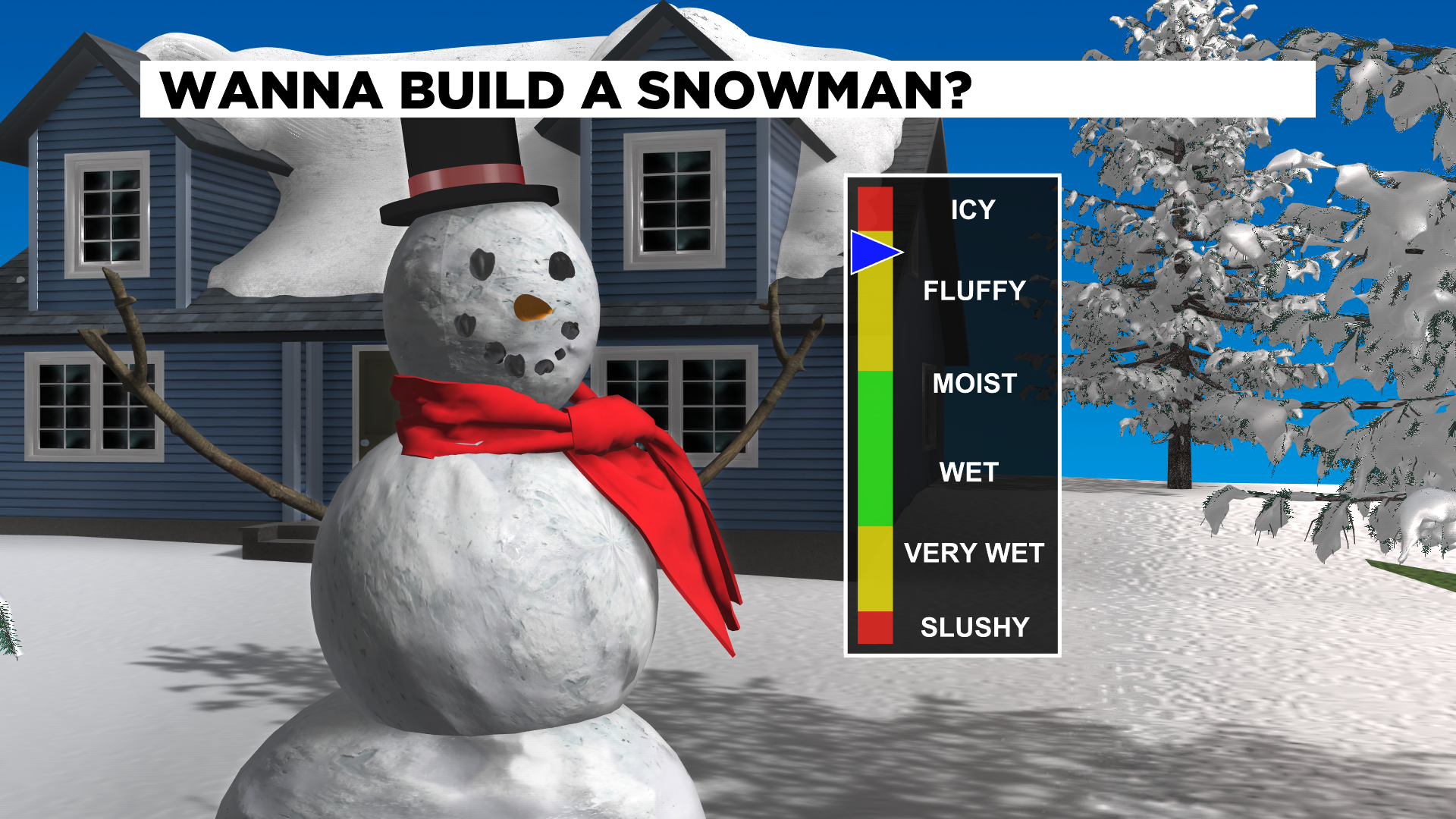
Our ratio is going to change from what was barely 10:1 yesterday (Airport reported 3.5" of snow but only 0.3" of rain) to a ratio of something closer to 15:1 or maybe even 18:1 before the snow comes to an end. The forecast looks to be spot on at this time.
So what can you expect from here on out for the rest of the day? The heaviest and steadiest snow should come to an end around sunup.
There will still be some snow through the day but data indicates the rest of the day will only see around a half inch or so of additional accumulation. You may not even notice the additional snow with everything already down.
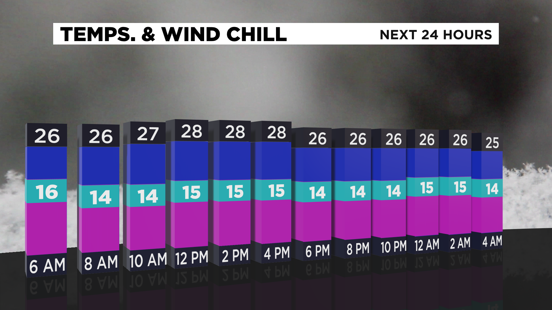
Road conditions will improve. The winter storm warning goes through 1p this afternoon, but may be cancelled early if road crews quickly get a handle on roads. I fully expect that to happen. One issue on roads later today will be blowing snow. Wind speeds for the day will be 12-22 mph with the highest wind gusts around 35 mph.
With snow still freshly fallen, blowing snow will pose a problem to area drivers. Driving conditions on roads could change dramatically over just a couple hundred feet. You are asked to remain vigilant and weather aware while driving through the course of the day.
Temperatures will also be on the cold side. Highs today will only be around 30 degrees. We hit 30 yesterday for a high and I struggle to find a reason that temperatures will be warmer than that today, even though model data continues to show just that.
With wind speeds high, snow now on the ground, and the little sunshine we may get being reflected away due to fresh snow I just don't see it.
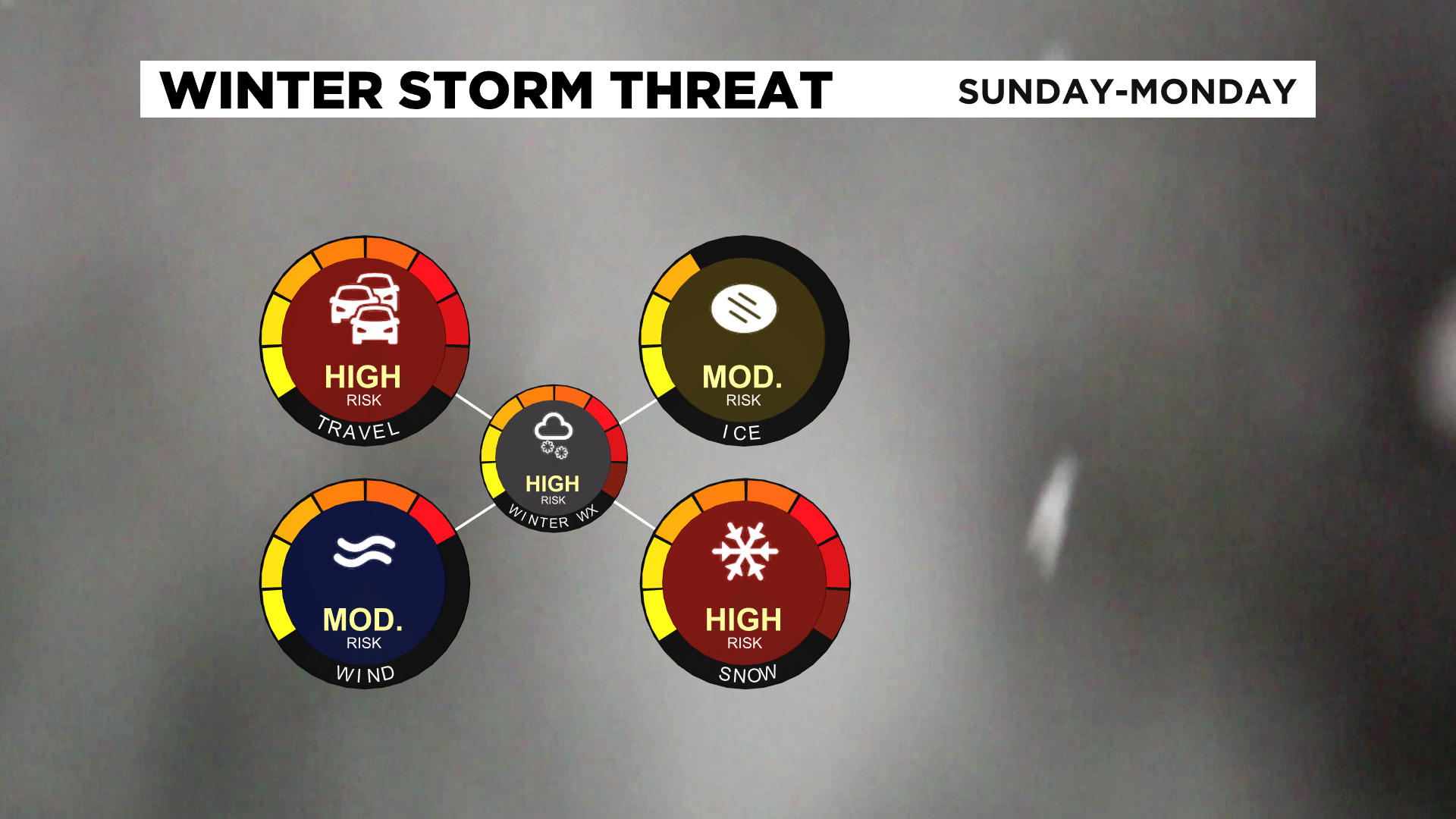
Looking ahead, expect a big cool down to end the week. We will likely see highs in the teens on Friday, and most of the day on Thursday will see temperatures that cold too.
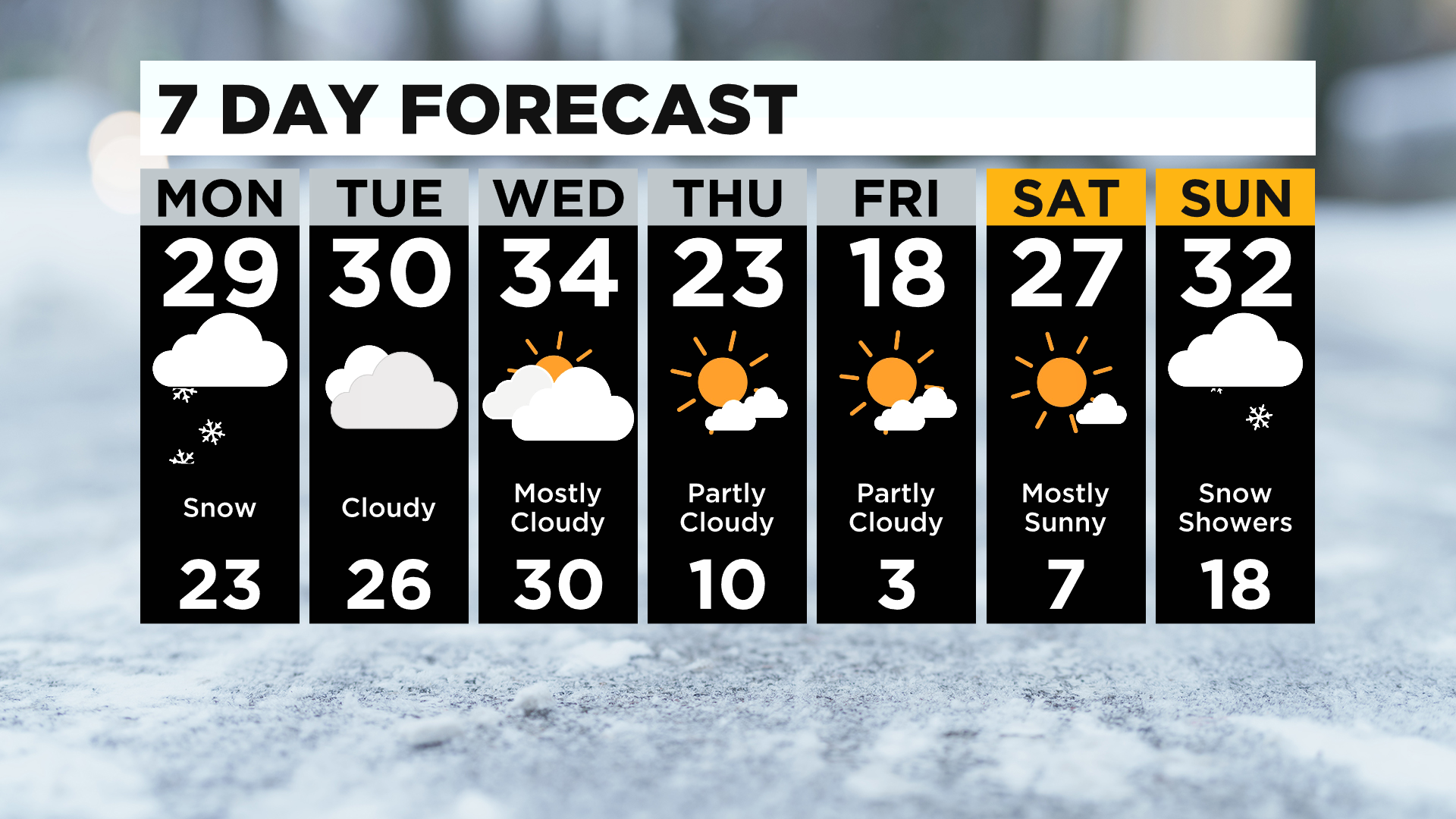
Some communities may see their actual air temperature dropping below 0 on Friday morning too. You factor in even a light 5-10 mph wind and you can expect wind chills in the negative teens.