Pittsburgh Weather: Snow throughout the day is expected
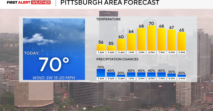
PITTSBURGH (KDKA) - Snow is falling, with most of the morning seeing moderate snow showers in Pittsburgh and the surrounding areas.
While model data has done a fairly decent job of depicting this event, there is one thing I am seeing this morning live that was not indicated by most models and that is the impact dry air is having on the system.
Model data had focused on two storm systems merging and impacting us. The first low pumped moisture into the second low which was expected to be surrounded by cold air.
We have seen the first low well ahead of the second low, leaving a bit of a gap. This will likely eat into our snow totals. I still expect everyone to see at least 3 inches of snow. Westward-facing slopes will see the largest totals and should expect at least 5 inches.
Snow should be fairly continuous through 3 p.m. Lake effect snow showers are also expected off and on overnight and into the morning hours. Once the snow comes to an end this afternoon, the cool air will move in behind it. Highs on Saturday will likely be in the teens, or whatever the temp is at midnight if it is still in the 20s.
The low on Saturday will be near 10 with wind chills hovering near 0. It is going to be nasty.
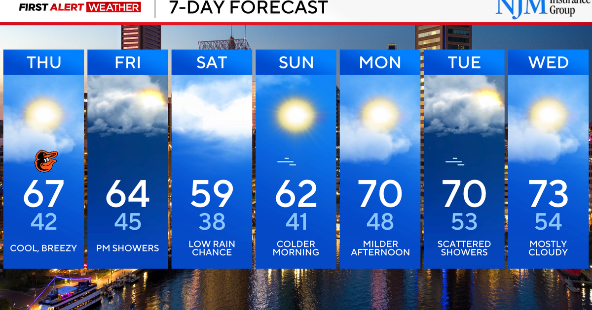
Looking ahead, temperatures will begin warming up next week with 30s for highs on Monday and 40s for highs starting on Tuesday. Tuesday will also see a rain chance including a brief round of wintry precipitation on Tuesday during the morning commute that may be enough to issue a First Alert Weather Day. Any impact should be short-lived.
WEATHER LINKS:
Current Conditions | School Closings & Delays | Submit Your Weather Photos


