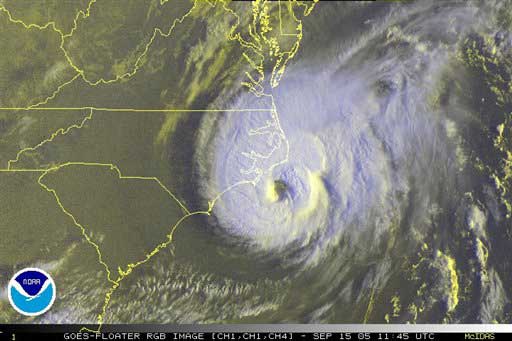
AP/NOAA
This NOAA satellite image taken Sept. 15, 2005 at 2:45 a.m. ET shows clouds associated with Hurricane Ophelia spinning off the North Carolina coast.
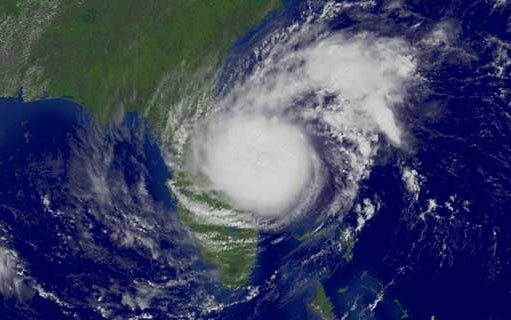
AP/NOAA
This is a satellite image provided by the National Oceanic and Atmospheric Administration shows Hurricane Ophelia on Sept. 15, 2005.
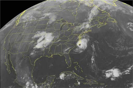
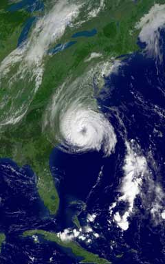
NOAA via Getty Images
In this satellite illustration from NOAA, Hurricane Ophelia is shown situated on U.S. Atlantic coast at 1:15 p.m. ET Sept. 8, 2005.
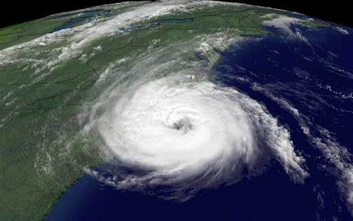
NOAA via Getty Images
In this satellite image from NOAA taken Sept. 14, 2005, at 4:15 p.m. ET, Hurricane Ophelia is shown over the Atlantic Ocean, closing in on North Carolina's coast.
CBS
In this satellite image from NOAA taken Sept. 14, 2005, at 4:15 p.m. ET, Hurricane Ophelia is shown over the Atlantic Ocean closing in on North Carolina's Coast.