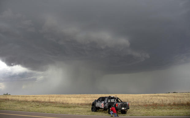
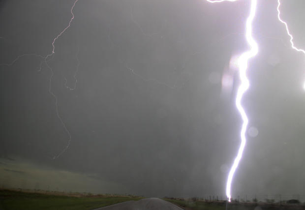
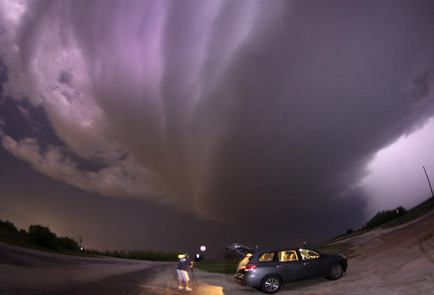
Chasing storms
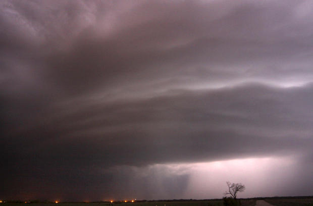
Thunder storms on Wednesday were a precursor of what's forecast for this coming weekend, that could be the most significant multi-day tornado outbreak in the U.S. since 2011.
Storm Chasers
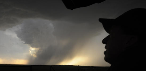
Storm Chasers
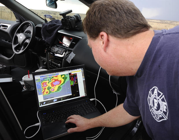
Storm Chasers
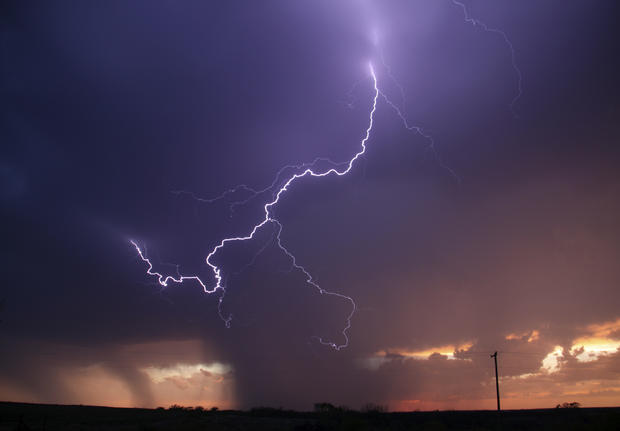
Storm Chasers
Storm Chasers
Storm Chasers