Southern California prepares for potential thunderstorms as rain makes its way to the region
Two systems of rain are heading toward the Southern California region, increasing the potential for thunderstorms and the danger for debris flow in the Eaton and Palisades fire areas.
KCAL News Meteorologist Amber Lee said the first wave of rain is only expected to bring light to moderate showers resulting in .50 inches or less.

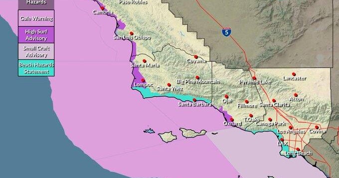
The National Weather Service said the storm will move across the Central Coast in the predawn hours and then arrive in the Santa Barbara and Ventura counties Thursday morning. Forecasters said the rain will reach LA County around noon Thursday.
Sierra Madre city leaders issued an evacuation warning in anticipation of the upcoming weather event. The warning will be in effect until 6 a.m.
The second system will arrive Thursday and will be colder with possible isolated thunderstorms. The NWS said thunderstorms may occur in San Luis Obispo, Santa Barbara, Ventura and LA counties with the greatest chance Thursday noon until 6 p.m.
"The strongest impulse moves through the area in the afternoon and evening and this should create an uptick in shower activity," the NWS said.
Large range of potential impacts from Wednesday-Thursday:
- 10-20% chance of shallow debris flows
- Small hail and gusty winds
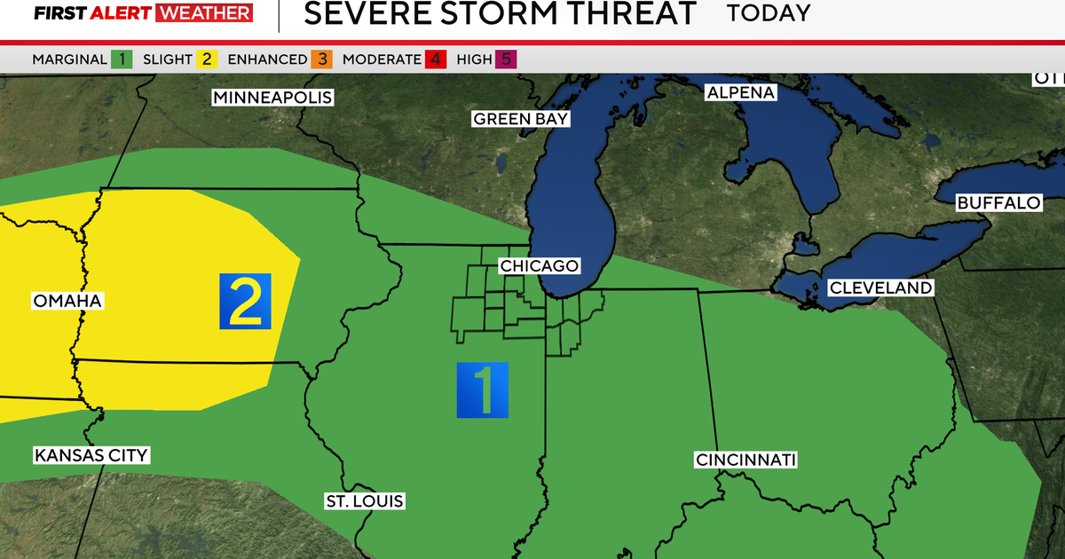
- Possibly severe storms, with remote risk of tornadoes
Dry and warmer conditions are expected once the systems pass heading into the weekend.