Josh Rubenstein's Weather Forecast (March 24)
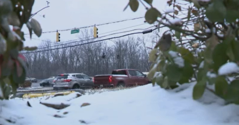
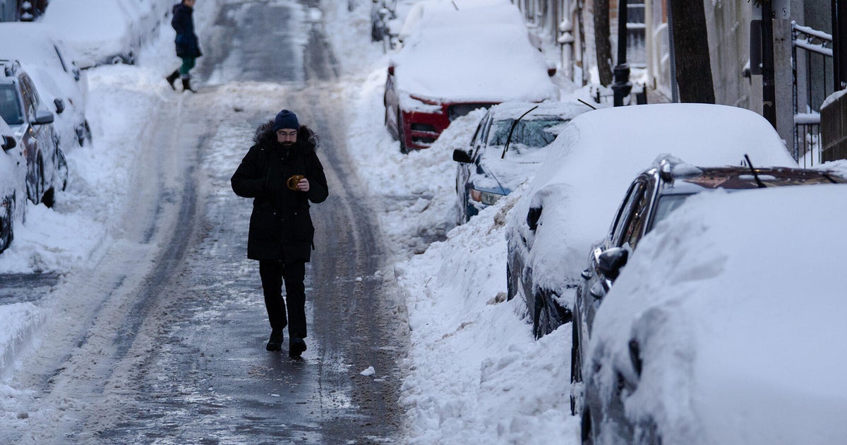
STUDIO CITY (CBS) — One storm down, one more to go! The latest system has exited the region, leaving us with an unstable environment for most of Thursday.
That just means we could see a pop-up shower pretty much anywhere throughout the day. The next front should move through the area late this afternoon and evening.
A Winter Storm Warning is in effect for our mountain areas and a Wind Advisory is in place for the high desert.
Snow levels are hovering around 4,500 feet and as the warm front moves through this afternoon, they will go up to 5,500 feet.
However, as the front passes, we could see the snow level drop back down to 3,500 feet. For the next system, we could see another .5" to 1" in the coastal and valley cities. For foothill communities, it will be closer to 2".
The rain will taper off overnight and early tomorrow morning. There is one more cold front for the weekend, however, the latest model runs show it really falling apart, giving us little or no rain.
This next system may bring a little more rain than Wednesday's storm, but again, it shouldn't be too problematic.