Gifford Fire in Santa Barbara County burns more than 60,000 acres, forces evacuations
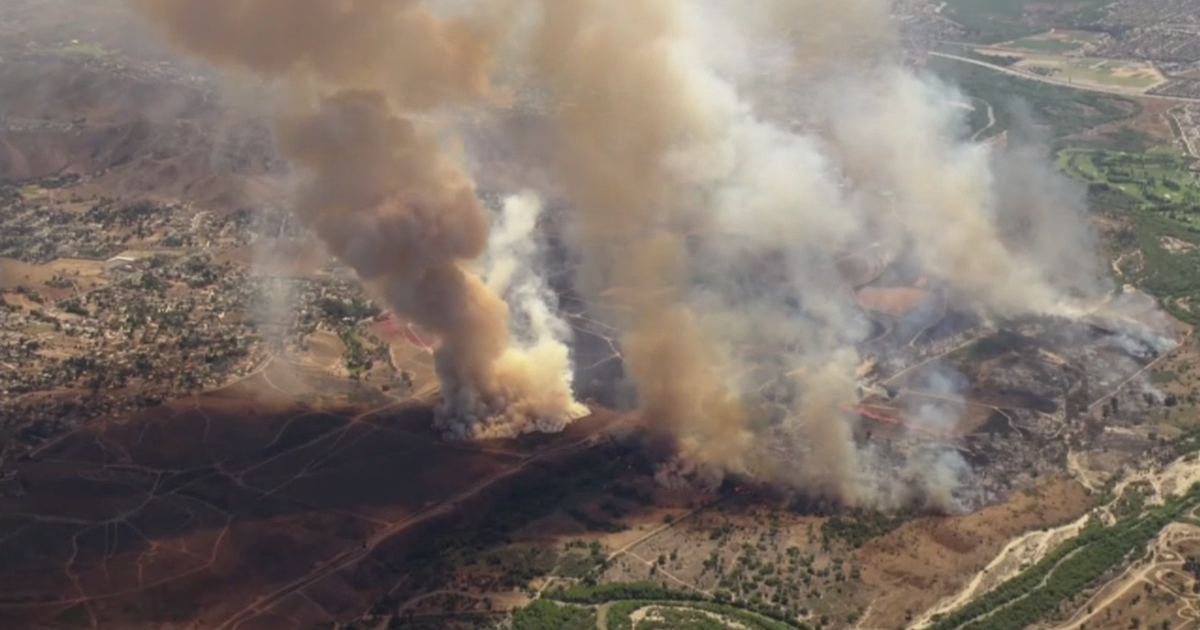
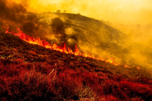
A fire in Central California's Sierra Madre mountain range is now spanning more than 60,000 acres after evacuations were ordered over the weekend.
The Gifford Fire was first reported Friday near the Gifford trailhead in Los Padres National Forest, around 15 miles east of Santa Maria. It quickly ballooned to more than 23,000 acres within 24 hours.
Evacuation orders were issued Friday evening for the area south of Highway 166, east of Willow Springs trailhead, and west of Cottonwood Canyon Road.
As of Sunday morning, Santa Barbara County estimated that the fire was at 65,062 acres and was 3% contained.
The current situation
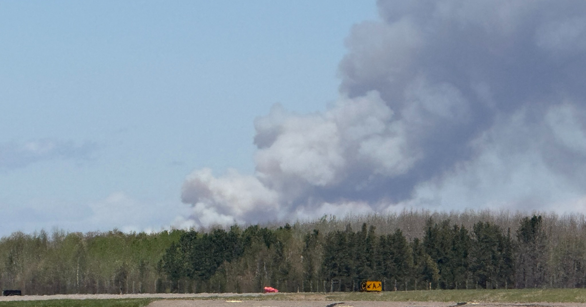
The U.S. Forest Service said the blaze was active overnight from Sunday to Monday and was likely to remain active throughout the day.
Crews on Monday were set to defend the northern flank of the fire to keep it atop the Sierra Madre ridge to keep it from spreading to nearby areas. The fire as of Monday morning, was aligning with topographical features near grass and brush, the forest service said.
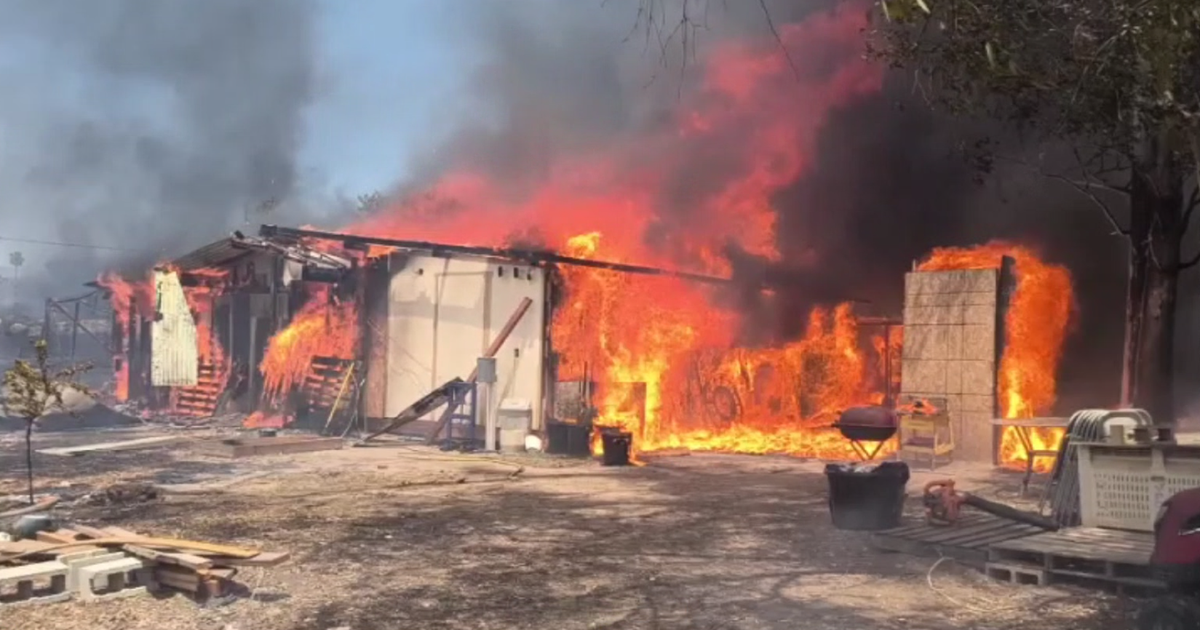
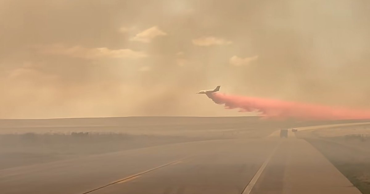
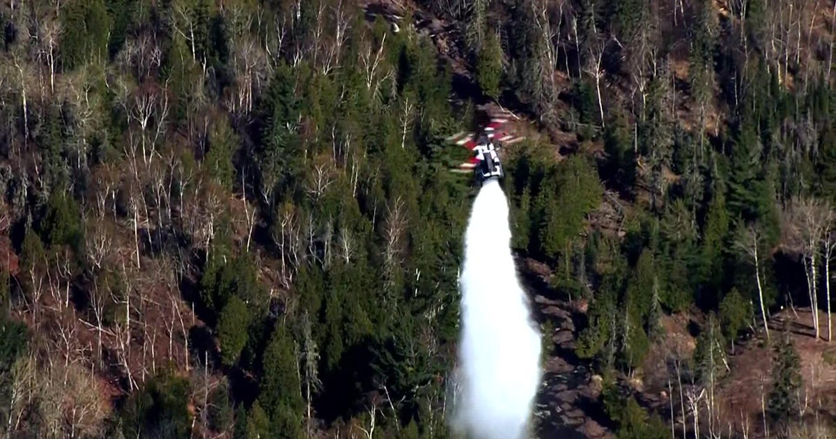
More than 1,000 fire personnel were dispatched to the Gifford Fire on Monday. The Forest Service said 460 structures were threatened. It's not yet clear if any had burned.
Evacuations
The following mandatory evacuation orders were issued as of 10:15 a.m. Monday:
- South of Highway 166, east of School House Road, and west of Aliso Canyon Road
- South of Highway 166, east of Cottonwood Canyon Road, and west of School House Road
- Upper Tepusquet Canyon south of Highway 166
- Area south of Highway 166, east of Willow Springs trailhead, and west of Cottonwood Canyon Road
The following evacuation warnings were issued as of 10:15 a.m. Monday:
- South of Hwy 166, east of Aliso Canyon Road, west of Perkins Road
- Lower Tepusquet Canyon north of the Sisquoc River
Santa Barbara County warned that residents within evacuation warning areas should be prepared to leave at a moment's notice. Anyone who needs extra time to leave, such as someone with disabilities or with large animals, should leave immediately.
2 temporary evacuation points and community information and resource centers have been established – one at Benjamin Foxen Elementary School in Santa Maria, and the other at Cuyama Valley Family Resource Center in New Cuyama.
Additional resources can be found here.