Flood watch issued for much of Southern California as remnants of Tropical Storm Mario brings showers, chance of thunderstorms
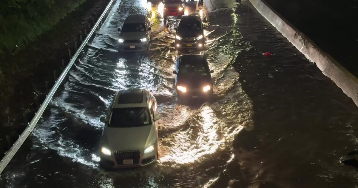
Remnants of Tropical Storm Mario have arrived in Southern California with light showers affecting most areas, but weather officials have issued a flood watch ahead of possible thunderstorms.
A KCAL Next Weather Alert remains in effect until Friday for all communities as rainfall totals are expected to peak on Thursday. The alert was issued a few days ago ahead of the weather event to prepare residents.
The National Weather Service has also issued a flood watch for much of Los Angeles, Ventura, and Santa Barbara counties through late Thursday night. Officials warn about the possibility of flash flooding caused by excessive rainfall. A main concern is the heavy rainfall causing debris flows in the recent burn scar areas.
Total rainfall over the past 24 hours:
- Bel Air .18 inches
- Culver City .06 inches
- Beverly Hills .08 inches
- Downtown Los Angeles .11 inches
- Agoura .22 inches
- East Pasadena .18 inches
- Claremont .04 inches
The NWS said temperatures on Thursday will be cooler due to the cloudy skies, although some areas may receive sunshine during the day.
Tropical Storm Mario made its way off the coast of Mexico near Baja California. The moist air mass is what is causing the precipitation. The NWS said the moisture will increase the threat of thunderstorms developing, in addition to lightning and gusty winds.
Conditions should dry out by Friday evening, heading into the weekend.