Caltrans Using Drones To Gauge Storm Damage
LOS ANGELES (CBSLA) – With a large storm hitting the Southland Thursday, Caltrans will utilize a new tool to gauge the possible damage that may be left behind.
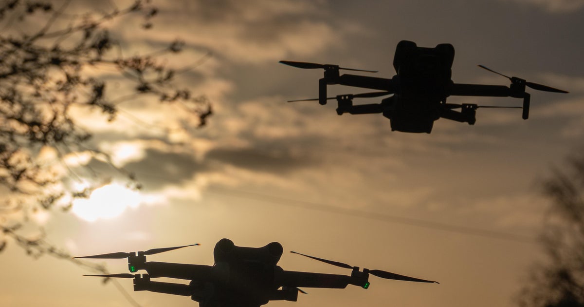
The agency is using advanced drones equipped with high resolution cameras. The images help assess the risk of rock or mudslides.
It also helps them plan ways to repair the damage.
The drones can see 360 degrees, and can safely maneuver close to unstable areas.
"What might have been a couple pictures on a cell phone is now maybe hundreds of photos that's all stitched together in this nice, large model," a Caltrans official said.
Workers on the ground were at greater risk of danger before they started using the drones.
Thursday and Friday's atmospheric river storm has brought with it the serious risk of mudslides and debris flows in wildfire burn areas.
